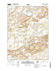
2015 Map of Noatak D-1 NE
USGS Topo · Published 2015About this map
Noatak National Preserve encompasses the southern half of this landscape, where the wide Noatak River meanders through a network of braided channels and seasonal sandbars. The northern portion is characterized by upland terrain and the prominent Lake Tagakvik, which sits in a basin fed by the Agugun River. The drainage patterns and topographic contours captured in this survey illustrate a pristine Arctic wilderness where natural waterways dictate the shape of the land. This map provides a technical view of the hydrography and public land survey boundaries in the Northwest Arctic region, showing the exact relationship between major lakes and the primary river systems that define this remote corridor.
Find a feature on this map
8 named features on this map. Tap any name to fly to it.
Don’t see what you’re looking for? This feature index may not catch every label — zoom into the map to look around manually.
Map Details
Editions of this 2015 Noatak D-1 NE Map
This is the sole edition of this map. No revisions or reprints were ever made.
Other maps of this area

1951 · De Long Mountains
USGS Topo · 1:250,000

1951 · Baird Mountains
USGS Topo · 1:250,000

1951 · Noatak
USGS Topo · 1:250,000

1951 · Misheguk Mountain
USGS Topo · 1:250,000

1955 · Noatak
USGS Topo · 1:250,000

1955 · De Long Mountains
USGS Topo · 1:250,000

1955 · Noatak D-1
USGS Topo · 1:63,360

1955 · Baird Mountains D-6
USGS Topo · 1:63,360

1955 · Misheguk Mountain A-5
USGS Topo · 1:63,360

1955 · De Long Mountains A-1
USGS Topo · 1:63,360