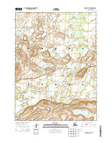
2015 Map of Noatak D-1 NW
USGS Topo · Published 2015About this map
The Noatak River dominates the southern reaches of this landscape within the vast protected boundaries of the Noatak National Preserve. This 2015 survey illustrates a wilderness defined by its complex hydrologic network, where the Kelly River and Augun River flow southward to join the primary Noatak corridor. The topography reveals a glacial and alluvial history, with numerous small lakes and kettle ponds scattered across the lowlands between the river bends. This specific quadrangle captures the junction of major Arctic waterways before they continue their westward journey through the Brooks Range foothills. The map provides precise elevation data for the surrounding ridges and valleys, showing the natural drainages that have remained largely unchanged by modern infrastructure or permanent settlements.
Find a feature on this map
8 named features on this map. Tap any name to fly to it.
Don’t see what you’re looking for? This feature index may not catch every label — zoom into the map to look around manually.
Map Details
Editions of this 2015 Noatak D-1 NW Map
This is the sole edition of this map. No revisions or reprints were ever made.
Other maps of this area

1951 · De Long Mountains
USGS Topo · 1:250,000

1951 · Noatak
USGS Topo · 1:250,000

1955 · Noatak
USGS Topo · 1:250,000

1955 · De Long Mountains
USGS Topo · 1:250,000

1955 · Noatak D-1
USGS Topo · 1:63,360

1955 · Noatak D-2
USGS Topo · 1:63,360

1955 · De Long Mountains A-1
USGS Topo · 1:63,360

1964 · Noatak
USGS Topo · 1:250,000

1965 · De Long Mountains
USGS Topo · 1:250,000
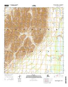
2015 · De Long Mountains A-1 SW
USGS Topo · 1:25,000