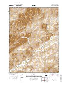
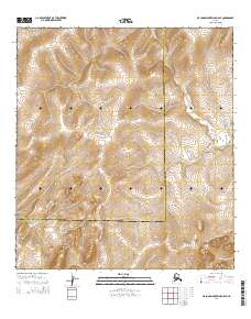
2014 Map of Noatak D-6 NE
USGS Topo · Published 2014About this map
Asikpak River meanders through this portion of the Northwest Arctic, carving a path between the elevated summits that define the region. High points include Kisemaraktuk Mountain and Umagatsaiak Mountain, which dominate the northern half of the survey. The landscape transitions into the Siaktak Hills to the southwest, while the distinctive narrow landform of Itiptigvirak Neck provides a clear geographic marker between the peaks. This 2014 representation captures the area's natural drainage patterns and topographical relief, providing a clear view of the wilderness as it was documented in the early twenty-first century.
Find a feature on this map
9 named features on this map. Tap any name to fly to it.
Don’t see what you’re looking for? This feature index may not catch every label — zoom into the map to look around manually.
Map Details
Editions of this 2014 Noatak D-6 NE Map
This is the sole edition of this map. No revisions or reprints were ever made.
Other maps of this area

1951 · De Long Mountains
USGS Topo · 1:250,000

1951 · Noatak
USGS Topo · 1:250,000

1955 · Noatak
USGS Topo · 1:250,000

1955 · De Long Mountains
USGS Topo · 1:250,000
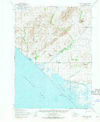
1955 · Noatak D-6
USGS Topo · 1:63,360
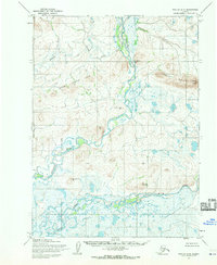
1955 · Noatak D-5
USGS Topo · 1:63,360
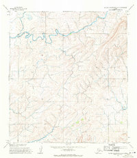
1955 · De Long Mountains A-5
USGS Topo · 1:63,360

1964 · Noatak
USGS Topo · 1:250,000

1965 · De Long Mountains
USGS Topo · 1:250,000
2014 · De Long Mountains A-5 SE
USGS Topo · 1:25,000