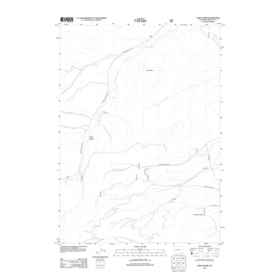
2012 Map of Noble Basin
USGS Topo · Published 2012About this map
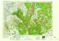
Dead Shot Ranch sits along the Hoback River in this high-altitude Wyoming landscape, where the waterways define the historical movement through the terrain. The confluence of the S Fork Hoback River and the main river channel occurs near Upper Hoback Canyon, a topographical bottleneck that has historically dictated the path of the Upper Hoback River Rd. This area of Sublette County is characterized by significant hydrological features including Middle Beaver Cr and Chall Cr, which drain the surrounding highlands like Strawberry Ridge and Noble Basin. The map captures a network of specialized access routes such as Hurricane Trl and Merna N Beaver Rd, reflecting the management of these public and private lands for ranching and recreation in the early 21st century.
Find a feature on this map
20 named features on this map. Tap any name to fly to it.
Don’t see what you’re looking for? This feature index may not catch every label — zoom into the map to look around manually.
Map Details
Editions of this 2012 Noble Basin Map
This is the sole edition of this map. No revisions or reprints were ever made.
Other maps of this area
1907 · Gros Ventre
USGS Topo · 1:125,000
1910 · Gros Ventre
USGS Topo · 1:125,000
1921 · Afton
USGS Topo · 1:125,000
1931 · Jackson
USGS Topo · 1:125,000
1935 · Jackson
USGS Topo · 1:125,000
1939 · Big Piney
USGS Topo · 1:125,000
1942 · Big Piney
USGS Topo · 1:125,000

1955 · Driggs
USGS Topo · 1:250,000

1955 · Preston
USGS Topo · 1:250,000
1958 · Driggs
USGS Topo · 1:250,000