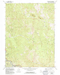
1969 Map of Noble Butte
USGS Topo · Published 1994About this map
Red Mountain and the surrounding wilderness of northern Mendocino County dominate this topographic landscape as it appeared in the late 1960s, with later updates from 1988. The southwestern corner is particularly rich in protected natural heritage, featuring the Standish-Hickey State Recreation Area and the Frank and Bess Smithe Redwood Grove along the South Fork Eel River. This area serves as a transit corridor where the settlement of Riverdale sits near the Dora Redwoods State Reserve.
Find a feature on this map
44 named features on this map. Tap any name to fly to it.
Don’t see what you’re looking for? This feature index may not catch every label — zoom into the map to look around manually.
Map Details
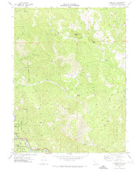
Editions of this 1969 Noble Butte Map
2 editions found
Other maps of this area

1920 · Cummings
USGS Topo · 1:62,500

1920 · Harris
USGS Topo · 1:62,500

1921 · Briceland
USGS Topo · 1:62,500

1949 · Alderpoint
USGS Topo · 1:62,500

1949 · Garberville
USGS Topo · 1:62,500

1950 · Piercy
USGS Topo · 1:62,500

1951 · Alderpoint
USGS Topo · 1:62,500

1951 · Garberville
USGS Topo · 1:62,500

1952 · Leggett
USGS Topo · 1:62,500

1957 · Ukiah
USGS Topo · 1:250,000