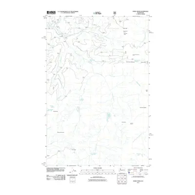
2011 Map of Noble Knob
USGS Topo · Published 2011About this map
Greenwater River and the North Fork Little Naches River define the drainage patterns of this high-elevation terrain in the early 21st century. The map centers on the crest of the Cascades, where Naches Pass and Louisiana Saddle offer traditional crossings over the divide. High points such as Noble Knob, Pyramid Peak, and Mutton Mountain are connected by a network of forest service roads, including Nat For Dev RD 7224.
Find a feature on this map
37 named features on this map. Tap any name to fly to it.
Don’t see what you’re looking for? This feature index may not catch every label — zoom into the map to look around manually.
Map Details
Editions of this 2011 Noble Knob Map
This is the sole edition of this map. No revisions or reprints were ever made.
Other maps of this area

1901 · Snoqualmie Pass
USGS Topo · 1:125,000

1902 · Mount Aix
USGS Topo · 1:125,000

1903 · Snoqualmie
USGS Topo · 1:125,000

1904 · Mt Aix
USGS Topo · 1:125,000

1913 · Cedar Lake
USGS Topo · 1:125,000

1924 · Mt Rainier
USGS Topo · 1:96,000

1928 · Mt Rainier
USGS Topo · 1:125,000

1950 · Yakima
USGS Topo · 1:250,000

1956 · Greenwater
USGS Topo · 1:62,500

1957 · Wenatchee
USGS Topo · 1:250,000