
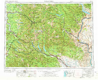
2014 Map of Noble Knob
USGS Topo · Published 2014About this map
Snoqualmie National Forest dominates this high-altitude landscape along the crest of the Cascade Range, where the borders of King, Pierce, Kittitas, and Yakima counties converge. The Pacific Crest National Scenic Trail winds through the eastern portion of the map, passing significant waypoints like Windy Gap, Louisiana Saddle, and the Arch Rock Shelter. This area is a critical corridor for mountain travel, centered on Naches Pass and the historic Government Meadow, where the Government Meadow Camp and Camp Urich represent long-standing recreational and transit nodes.
Find a feature on this map
41 named features on this map. Tap any name to fly to it.
Don’t see what you’re looking for? This feature index may not catch every label — zoom into the map to look around manually.
Map Details
Editions of this 2014 Noble Knob Map
This is the sole edition of this map. No revisions or reprints were ever made.
Other maps of this area
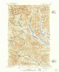
1901 · Snoqualmie Pass
USGS Topo · 1:125,000
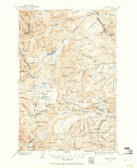
1902 · Mount Aix
USGS Topo · 1:125,000
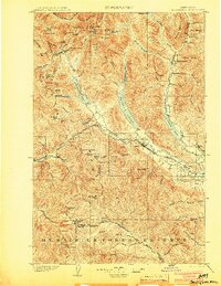
1903 · Snoqualmie
USGS Topo · 1:125,000
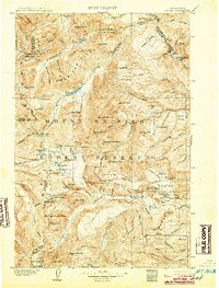
1904 · Mt Aix
USGS Topo · 1:125,000
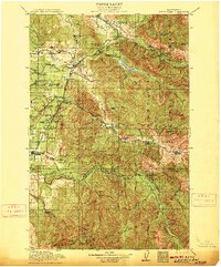
1913 · Cedar Lake
USGS Topo · 1:125,000
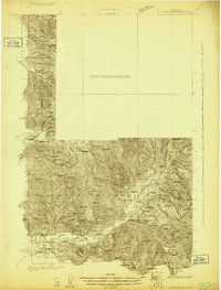
1924 · Mt Rainier
USGS Topo · 1:96,000
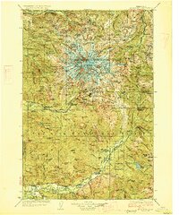
1928 · Mt Rainier
USGS Topo · 1:125,000

1950 · Yakima
USGS Topo · 1:250,000
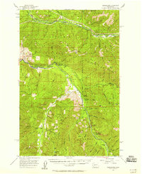
1956 · Greenwater
USGS Topo · 1:62,500
1957 · Wenatchee
USGS Topo · 1:250,000