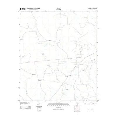
2012 Map of Noelke
USGS Topo · Published 2012About this map
Noelke serves as a central point in this ranching and energy landscape, situated where Co Rd 133 and Co Rd 131 converge in Irion County. The map reveals an arid terrain defined by vital water sources like Jehovahs Witnesses Waterhole and Clay Waterhole, and marked by significant elevations including High Point Hill and Monument Hill. The distribution of scattered infrastructure highlights the area's dual reliance on subterranean resources, ranging from numerous livestock water sources like Twentyfoot Windmill and Kite Windmill to the industrial activity at the Mertzon Oil Field.
Find a feature on this map
26 named features on this map. Tap any name to fly to it.
Don’t see what you’re looking for? This feature index may not catch every label — zoom into the map to look around manually.
Map Details
Editions of this 2012 Noelke Map
This is the sole edition of this map. No revisions or reprints were ever made.
Other maps of this area
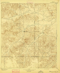
1895 · Sherwood
USGS Topo · 1:125,000
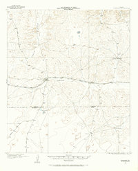
1920 · Barnhart
USGS Topo · 1:62,500
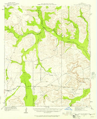
1921 · Ketchum Mountain
USGS Topo · 1:62,500

1922 · Barnhart
USGS Topo · 1:62,500
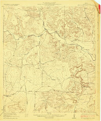
1923 · Ketchum Mountain
USGS Topo · 1:62,500
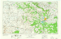
1954 · San Angelo
USGS Topo · 1:250,000
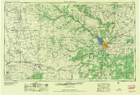
1958 · San Angelo
USGS Topo · 1:250,000
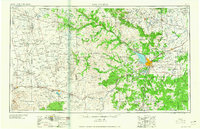
1965 · San Angelo
USGS Topo · 1:250,000
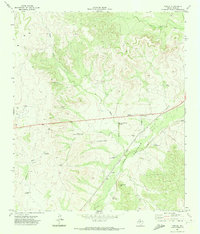
1971 · Noelke
USGS Topo · 1:24,000
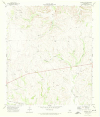
1971 · Barnhart NE
USGS Topo · 1:24,000