1971 Map of Noelke
USGS Topo · Published 1974About this map
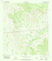
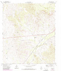
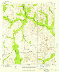
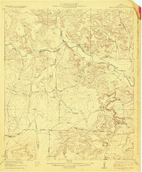
The Mertzon Oil Field and its accompanying refinery dominate the eastern landscape of this Irion County territory, documenting a peak era of petroleum extraction in West Texas. The infrastructure of the energy industry is highly detailed, showing a network of gas wells, an oil well, and a pipeline that cuts across the terrain. Transportation in the region is anchored by the Atchison Topeka and Santa Fe railroad, which follows the path of Spring Creek near the settlement of Noelke.
Find a feature on this map
25 named features on this map. Tap any name to fly to it.
Don’t see what you’re looking for? This feature index may not catch every label — zoom into the map to look around manually.
Map Details
Editions of this 1971 Noelke Map
2 editions found
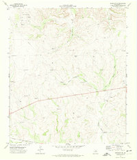
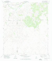
Other maps of this area
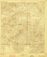
1895 · Sherwood
USGS Topo · 1:125,000
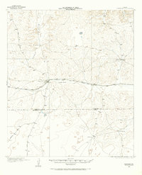
1920 · Barnhart
USGS Topo · 1:62,500
1921 · Ketchum Mountain
USGS Topo · 1:62,500

1922 · Barnhart
USGS Topo · 1:62,500
1923 · Ketchum Mountain
USGS Topo · 1:62,500

1954 · San Angelo
USGS Topo · 1:250,000

1958 · San Angelo
USGS Topo · 1:250,000

1965 · San Angelo
USGS Topo · 1:250,000
1971 · Barnhart NE
USGS Topo · 1:24,000
1971 · Noelke SW
USGS Topo · 1:24,000