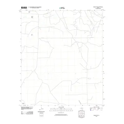
2010 Map of Noelke SW
USGS Topo · Published 2010About this map
Edwards Plateau terrain dominates this portion of Crockett County, defined by a network of seasonal watercourses and expansive ranchland. The landscape is shaped by several significant drainage features, including Wilson Draw, Dutch Woman Draw, and Nine Draw, which converge toward the north. Spring Creek meanders through the upper section of the map, providing a vital hydrologic focal point in an otherwise arid environment. The human footprint is marked by a sparse but deliberate road network, with University Ln cutting a straight east-west line across the central plains, intersected by rural routes like Co Rd 134. This 2010 survey reflects the enduring character of West Texas ranching country, where geography is dictated by the flow of water through draws like Dove Creek Draw and the reach of remote county roads.
Find a feature on this map
9 named features on this map. Tap any name to fly to it.
Don’t see what you’re looking for? This feature index may not catch every label — zoom into the map to look around manually.
Map Details
Editions of this 2010 Noelke SW Map
This is the sole edition of this map. No revisions or reprints were ever made.
Other maps of this area

1895 · Sherwood
USGS Topo · 1:125,000

1920 · Barnhart
USGS Topo · 1:62,500

1922 · Barnhart
USGS Topo · 1:62,500

1954 · Sonora
USGS Topo · 1:250,000

1954 · San Angelo
USGS Topo · 1:250,000

1958 · Sonora
USGS Topo · 1:250,000

1958 · San Angelo
USGS Topo · 1:250,000

1964 · Oglesby Ranch
USGS Topo · 1:24,000

1964 · Moore Ranch
USGS Topo · 1:24,000

1965 · San Angelo
USGS Topo · 1:250,000