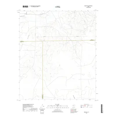
2019 Map of Noelke SW
USGS Topo · Published 2019About this map
The intersection of Irion, Crockett, and Schleicher counties defines this high plateau landscape, where the drainage patterns of the Edwards Plateau are clearly etched into the terrain. Intermittent watercourses like Dutch Woman Draw and Spring Cr flow across the northern reaches, while Dove Creek Draw cuts through the southeastern corner. This area is characterized by large-scale ranching operations and oil and gas infrastructure, serviced by a network of straight-line roads such as University Ln and Co Rd 134. The map provides a detailed view of the topographical relief and the subtle drainage basins, such as Nine Draw, that have shaped the land use and property boundaries in this part of West Texas.
Find a feature on this map
11 named features on this map. Tap any name to fly to it.
Don’t see what you’re looking for? This feature index may not catch every label — zoom into the map to look around manually.
Map Details
Editions of this 2019 Noelke SW Map
This is the sole edition of this map. No revisions or reprints were ever made.
Other maps of this area
1895 · Sherwood
USGS Topo · 1:125,000
1920 · Barnhart
USGS Topo · 1:62,500

1922 · Barnhart
USGS Topo · 1:62,500

1954 · Sonora
USGS Topo · 1:250,000

1954 · San Angelo
USGS Topo · 1:250,000

1958 · Sonora
USGS Topo · 1:250,000
1958 · San Angelo
USGS Topo · 1:250,000
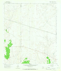
1964 · Oglesby Ranch
USGS Topo · 1:24,000
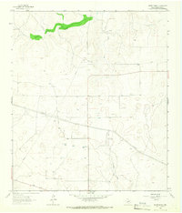
1964 · Moore Ranch
USGS Topo · 1:24,000
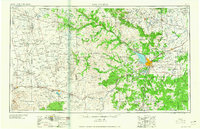
1965 · San Angelo
USGS Topo · 1:250,000