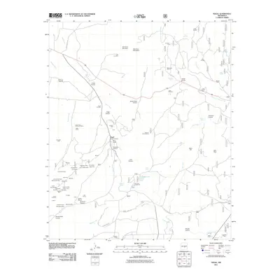
2011 Map of Nogal
USGS Topo · Published 2011About this map
Nogal and its surrounding canyons reveal a landscape deeply shaped by mining and ranching legacies at the eastern edge of the Vera Cruz Mountains. The settlement at Nogal, featuring the Nogal Post Office and nearby Nogal Cemetery, serves as the focal point for a district once bustling with hard-rock activity. Dozens of named claims and workings, such as the Vera Cruz Mine, Helen Rae Mine, and the American Mine, are concentrated in the hills west of Nogal Creek.
Find a feature on this map
97 named features on this map. Tap any name to fly to it.
Don’t see what you’re looking for? This feature index may not catch every label — zoom into the map to look around manually.
Map Details
Editions of this 2011 Nogal Map
This is the sole edition of this map. No revisions or reprints were ever made.
Other maps of this area

1934 · Capitan
USGS Topo · 1:48,000

1937 · Capitan
USGS Topo · 1:62,500

1938 · Carrizozo
USGS Topo · 1:48,000

1943 · Carrizozo
USGS Topo · 1:62,500

1950 · Carrizozo
USGS Topo · 1:62,500

1950 · Sierra Blanca Peak
USGS Topo · 1:62,500

1955 · Roswell
USGS Topo · 1:250,000

1958 · Roswell
USGS Topo · 1:250,000

1962 · Roswell
USGS Topo · 1:250,000

1963 · Fort Stanton
USGS Topo · 1:24,000