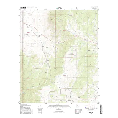
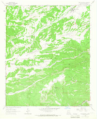
2017 Map of Nogal
USGS Topo · Published 2017About this map
Nogal serves as the central hub of this Lincoln County survey, situated at the base of the Vera Cruz Mountains. The landscape is defined by the high elevations of the Lincoln National Forest, where drainage patterns like Nogal Cr and Magado Cr carve through complex canyons. For genealogists, the map identifies specific burial sites including Nogal Cem and the Silva Cem, the latter located near the northern Indian Divide. Water management is a primary feature of the local geography, evidenced by the numerous named tanks and springs such as Nogal Lake, Guebara Tank, and Vera-Cruz Tank. These features suggest a history of ranching and resource management in a high-desert environment, where access to water dictated the location of homesteads and grazing lands within the Tortolita Canyon and Indian Canyon areas.
Find a feature on this map
70 named features on this map. Tap any name to fly to it.
Don’t see what you’re looking for? This feature index may not catch every label — zoom into the map to look around manually.
Map Details
Editions of this 2017 Nogal Map
This is the sole edition of this map. No revisions or reprints were ever made.
Other maps of this area
1934 · Capitan
USGS Topo · 1:48,000
1937 · Capitan
USGS Topo · 1:62,500
1938 · Carrizozo
USGS Topo · 1:48,000
1943 · Carrizozo
USGS Topo · 1:62,500
1950 · Carrizozo
USGS Topo · 1:62,500
1950 · Sierra Blanca Peak
USGS Topo · 1:62,500

1955 · Roswell
USGS Topo · 1:250,000

1958 · Roswell
USGS Topo · 1:250,000
1962 · Roswell
USGS Topo · 1:250,000
1963 · Fort Stanton
USGS Topo · 1:24,000