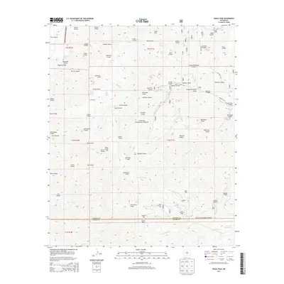
2013 Map of Nogal Peak
USGS Topo · Published 2013About this map
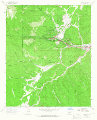
Nogal Peak anchors this section of the Lincoln National Forest in New Mexico, where the high mountain terrain gives rise to several crucial water sources. The landscape is defined by its complex drainage systems, featuring numerous springs such as Argentina Spring, Bragg Spring, and Dougherty Spring that feed into deep canyons. This 2013 survey illustrates the boundary between Lincoln and Otero counties, tracing the path of the S Fork Rio Bonito and the N Fork Rio Ruidoso. Named features like George Washington Canyon and White Horse Hill suggest a history of local exploration and ranching. The presence of Littleton Tank and Blue Hole Pond alongside the winding Bonito Meadow Road indicates the ongoing importance of water management and access within this protected forest area.
Find a feature on this map
78 named features on this map. Tap any name to fly to it.
Don’t see what you’re looking for? This feature index may not catch every label — zoom into the map to look around manually.
Map Details
Editions of this 2013 Nogal Peak Map
This is the sole edition of this map. No revisions or reprints were ever made.
Other maps of this area
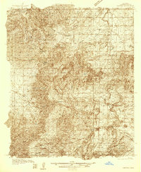
1934 · Capitan
USGS Topo · 1:48,000
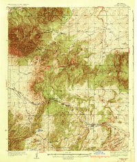
1937 · Capitan
USGS Topo · 1:62,500
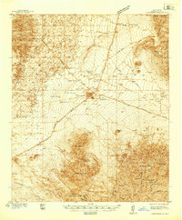
1938 · Carrizozo
USGS Topo · 1:48,000
1943 · Carrizozo
USGS Topo · 1:62,500
1950 · Carrizozo
USGS Topo · 1:62,500
1950 · Sierra Blanca Peak
USGS Topo · 1:62,500

1955 · Roswell
USGS Topo · 1:250,000

1958 · Roswell
USGS Topo · 1:250,000
1962 · Roswell
USGS Topo · 1:250,000
1963 · Ruidoso
USGS Topo · 1:24,000