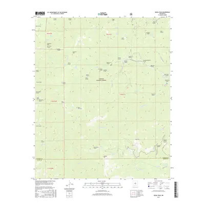
2017 Map of Nogal Peak
USGS Topo · Published 2017About this map
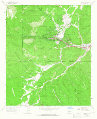
Nogal Peak and the high ridges of the Lincoln National Forest dominate this terrain near the boundary of Lincoln and Otero Counties. The landscape is defined by a dense network of canyons, including Nogal Canyon and Robinson Canyon, which channel water toward significant drainages like the S Fork Rio Bonito and the N Fork Rio Ruidoso. Numerous springs, such as Red Fox Spring and Argentina Spring, dot the mountainsides, indicating the vital water sources required for both wildlife and the seasonal grazing that has long characterized these uplands. In the southeast, Eagle Lake Number two and Blue Hole Pond provide rare standing water in this high-elevation environment. Traces of human activity are present via the Bonito Meadow Road and various cattle-related infrastructure like Littleton Tank, reflecting the area's history as a managed forest and rangeland.
Find a feature on this map
74 named features on this map. Tap any name to fly to it.
Don’t see what you’re looking for? This feature index may not catch every label — zoom into the map to look around manually.
Map Details
Editions of this 2017 Nogal Peak Map
This is the sole edition of this map. No revisions or reprints were ever made.
Other maps of this area
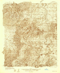
1934 · Capitan
USGS Topo · 1:48,000
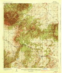
1937 · Capitan
USGS Topo · 1:62,500
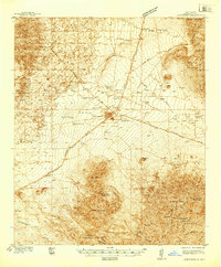
1938 · Carrizozo
USGS Topo · 1:48,000
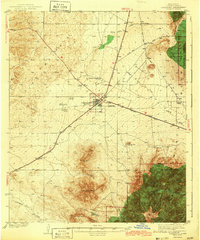
1943 · Carrizozo
USGS Topo · 1:62,500
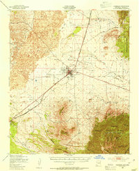
1950 · Carrizozo
USGS Topo · 1:62,500
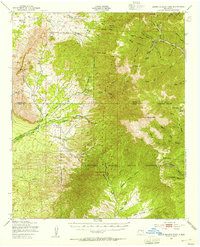
1950 · Sierra Blanca Peak
USGS Topo · 1:62,500

1955 · Roswell
USGS Topo · 1:250,000

1958 · Roswell
USGS Topo · 1:250,000
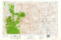
1962 · Roswell
USGS Topo · 1:250,000
1963 · Ruidoso
USGS Topo · 1:24,000