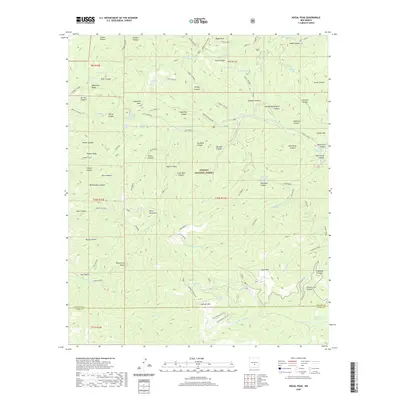
2020 Map of Nogal Peak
USGS Topo · Published 2020About this map
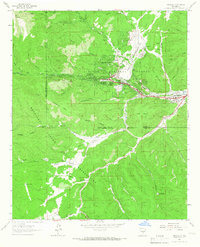
Nogal Peak towers over a landscape defined by the high ridges and deep drainages of the Lincoln National Forest. This 2020 survey documents a high-altitude wilderness where water sources are vital landmarks, from the scattered waters of Skull Springs and Devil Spring to the cattle-ranching infrastructure of Littleton Tank. The terrain is segmented by dramatic features like Sierra Blanca and White Horse Hill, reflecting the complex geography at the border of Lincoln and Otero counties.
Find a feature on this map
91 named features on this map. Tap any name to fly to it.
Don’t see what you’re looking for? This feature index may not catch every label — zoom into the map to look around manually.
Map Details
Editions of this 2020 Nogal Peak Map
This is the sole edition of this map. No revisions or reprints were ever made.
Other maps of this area
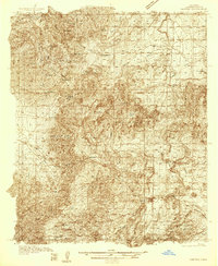
1934 · Capitan
USGS Topo · 1:48,000
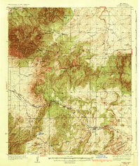
1937 · Capitan
USGS Topo · 1:62,500
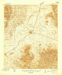
1938 · Carrizozo
USGS Topo · 1:48,000
1943 · Carrizozo
USGS Topo · 1:62,500
1950 · Carrizozo
USGS Topo · 1:62,500
1950 · Sierra Blanca Peak
USGS Topo · 1:62,500

1955 · Roswell
USGS Topo · 1:250,000

1958 · Roswell
USGS Topo · 1:250,000
1962 · Roswell
USGS Topo · 1:250,000
1963 · Ruidoso
USGS Topo · 1:24,000