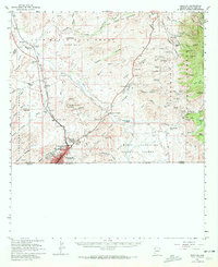
1958 Map of Nogales
USGS Topo · Published 1972About this map
Nogales sits at the southern edge of this mid-century landscape, a key international gateway at the foot of the Patagonia Mountains. The Southern Pacific railroad follows the course of the Santa Cruz River, tracing a corridor of early settlement that includes the Calabasas (Site) and the Yerba Buena Ranch. The map reveals a high density of mining operations in the eastern mountains, where prospects like the Flux Mine, Three R Mine, and the Tres de Mayo Group show the extent of mineral extraction in the region. Local landmarks such as Our Lady of Lourdes Academy and the Drive-in Theater capture the social character of the border community. Large land grants, including the Luis Maria Baca Grant (Float No 3) and Maria Santisima Del Carmen, reflect the complex heritage of land ownership in this part of Arizona.
Find a feature on this map
83 named features on this map. Tap any name to fly to it.
Don’t see what you’re looking for? This feature index may not catch every label — zoom into the map to look around manually.
Map Details
Editions of this 1958 Nogales Map
3 editions found
Other maps of this area

1904 · Patagonia
USGS Topo · 1:125,000

1905 · Patagonia
USGS Topo · 1:125,000

1905 · Nogales
USGS Topo · 1:125,000

1920 · Arivaca
USGS Topo · 1:125,000

1921 · Old Glory
USGS Topo · 1:125,000

1922 · Agus Caliente
USGS Topo · 1:62,500

1932 · Lochiel
USGS Topo · 1:62,500

1932 · Elgin
USGS Topo · 1:62,500

1933 · Calabasas
USGS Topo · 1:62,500

1939 · Tubac
USGS Topo · 1:62,500