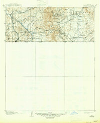
1905 Map of Nogales
USGS Topo · Published 1947About this map
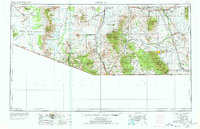
The United States-Mexico border defines the character of this 1905 landscape, where high-desert ranching and hard-rock mining shaped the settlement patterns of Santa Cruz County. The Southern Pacific RR (Nogales Branch) follows the Santa Cruz River valley through Calabasas, providing the vital link for moving ore and cattle north from Nogales. To the east, the Patagonia Mountains are pocketed with significant mining operations, including the historic Mowry Mine, the Holland Mine, and the Jarillas Mine.
Find a feature on this map
64 named features on this map. Tap any name to fly to it.
Don’t see what you’re looking for? This feature index may not catch every label — zoom into the map to look around manually.
Map Details
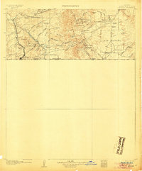
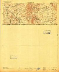
Editions of this 1905 Nogales Map
4 editions found
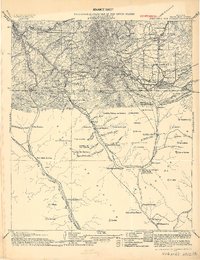
Historical Maps of Nogales Through Time
12 maps found
1905 Nogales
Santa Cruz County, AZ
1956 Nogales
Santa Cruz County, AZ

1958 Nogales
Santa Cruz County, AZ
1958 Nogales
Santa Cruz County, AZ

1959 Nogales
Santa Cruz County, AZ
1981 Nogales
Santa Cruz County, AZ

1994 Nogales
Santa Cruz County, AZ
2004 Nogales
Santa Cruz County, AZ
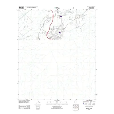
2012 Nogales
Santa Cruz County, AZ
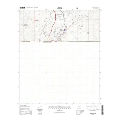
2014 Nogales
Santa Cruz County, AZ
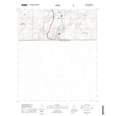
2018 Nogales
Santa Cruz County, AZ
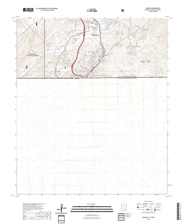
2021 Nogales
Santa Cruz County, AZ