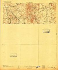
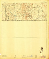
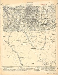
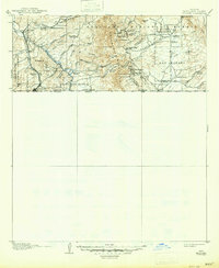
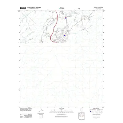
1905 Map of Nogales
USGS Topo · Published 1916About this map
The Patagonia Mountains dominate the central terrain of this borderlands survey, defining a landscape shaped by an intensive search for mineral wealth and early cattle ranching. Silver and lead mining operations are well-established throughout the range, including The Mowry Mine, Jarillas Mine, and the Holland Mine. This industrial activity is supported by specialized mining settlements like Washington, Duquesne, and Harshaw, which sit nestled within the high canyons and flats.
Find a feature on this map
67 named features on this map. Tap any name to fly to it.
Don’t see what you’re looking for? This feature index may not catch every label — zoom into the map to look around manually.
Map Details
Editions of this 1905 Nogales Map
4 editions found
Historical Maps of Nogales Through Time
12 maps found
1905 Nogales
Santa Cruz County, AZ
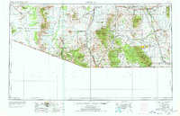
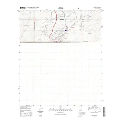
1956 Nogales
Santa Cruz County, AZ

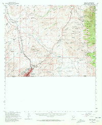
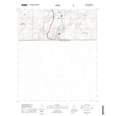
1958 Nogales
Santa Cruz County, AZ
1958 Nogales
Santa Cruz County, AZ

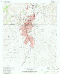
1959 Nogales
Santa Cruz County, AZ
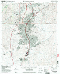
1981 Nogales
Santa Cruz County, AZ

1994 Nogales
Santa Cruz County, AZ
2004 Nogales
Santa Cruz County, AZ
2012 Nogales
Santa Cruz County, AZ
2014 Nogales
Santa Cruz County, AZ
2018 Nogales
Santa Cruz County, AZ
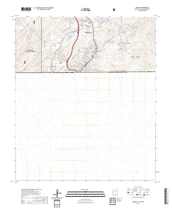
2021 Nogales
Santa Cruz County, AZ