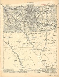
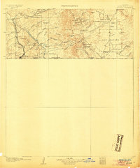
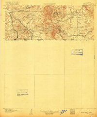
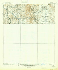
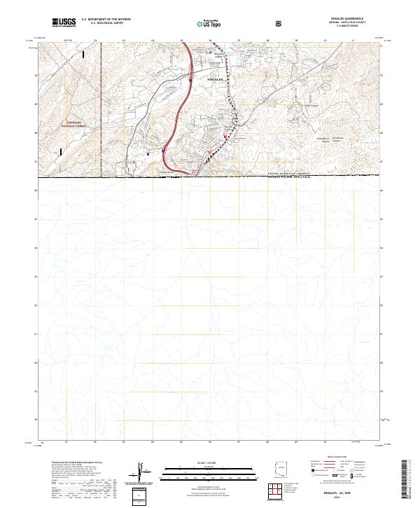
1905 Map of Nogales
USGS Topo · Published 1919About this map
The United States Mexico border defines the central axis of this military survey, tracing the international boundary between Arizona and Sonora. This advance sheet, compiled from field work by T.M. Bannon and others, details the early 20th-century ranching and mining infrastructure of the Santa Cruz region. The landscape is dominated by family-held lands such as Mariposa Ranch, Buenavista Ranch, and Estrada's Ranch, while industrial activity is evident at The Mowry Mine and the El Pilar Mine Co. south of the line. The Southern Pacific R. R. of Mexico provides the primary transport corridor, winding past Mascareñas Sta. and Sta. Agua Zarca as it follows the drainage of the Santa Cruz River. Numerous canyons and peaks, including Mt. Benedict and Cuchilla Pelona de Molera, define the rugged watershed of the Sonoran Desert borderlands.
Find a feature on this map
125 named features on this map. Tap any name to fly to it.
Don’t see what you’re looking for? This feature index may not catch every label — zoom into the map to look around manually.
Map Details
Editions of this 1905 Nogales Map
4 editions found
Historical Maps of Nogales Through Time
12 maps found
1905 Nogales
Santa Cruz County, AZ
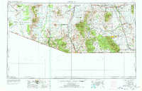
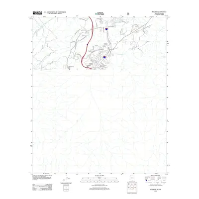
1956 Nogales
Santa Cruz County, AZ

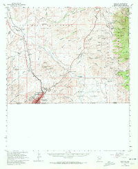
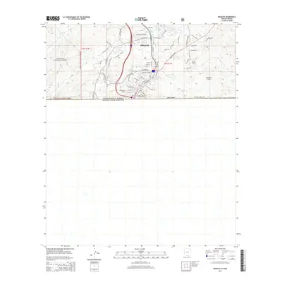
1958 Nogales
Santa Cruz County, AZ
1958 Nogales
Santa Cruz County, AZ

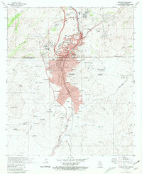
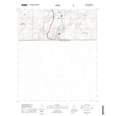
1959 Nogales
Santa Cruz County, AZ
1981 Nogales
Santa Cruz County, AZ

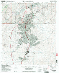
1994 Nogales
Santa Cruz County, AZ
2004 Nogales
Santa Cruz County, AZ
2012 Nogales
Santa Cruz County, AZ
2014 Nogales
Santa Cruz County, AZ
2018 Nogales
Santa Cruz County, AZ
2021 Nogales
Santa Cruz County, AZ