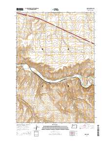
2014 Map of Nolin
USGS Topo · Published 2014About this map
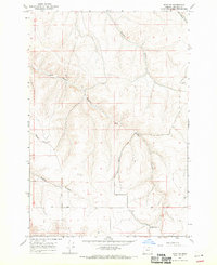
Nolin sits at the heart of this landscape, positioned where the Umatilla River winds through the high plateau country of eastern Oregon. The settlement is linked to its agricultural surroundings by a complex network of local roads such as PGG Elevator Rd and Rohde Rd, while the irrigation needs of the region are served by the Slusher Canal. The terrain is defined by dramatic geological features, including the steep-walled Speare Canyon and Mud Spring Canyon, alongside the distinctive river bend known as Horseshoe Curve. Genealogists and local historians will find the Nolin Cem as a primary landmark for the community. The presence of several water sources like Cherry Spring and Lower Mud Spring points to the essential nature of water rights and ranching in this portion of Umatilla County.
Find a feature on this map
32 named features on this map. Tap any name to fly to it.
Don’t see what you’re looking for? This feature index may not catch every label — zoom into the map to look around manually.
Map Details
Editions of this 2014 Nolin Map
This is the sole edition of this map. No revisions or reprints were ever made.
Other maps of this area
1908 · Umatilla
USGS Topo · 1:125,000
1935 · Pendleton
USGS Topo · 1:125,000

1953 · Pendleton
USGS Topo · 1:250,000

1956 · Pendleton
USGS Topo · 1:250,000
1962 · Stanfield
USGS Topo · 1:24,000
1962 · Stanfield SE
USGS Topo · 1:24,000
1966 · Holdman
USGS Topo · 1:24,000
1966 · Barnhart
USGS Topo · 1:24,000
1966 · Coombs Canyon
USGS Topo · 1:24,000
1968 · Echo SE
USGS Topo · 1:24,000