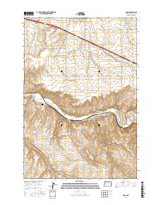
2017 Map of Nolin
USGS Topo · Published 2017About this map
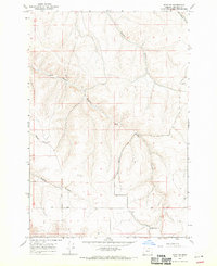
The Umatilla River valley defines the central corridor of this Umatilla County landscape, where the settlement of Nolin sits at the junction of Cunningham Rd and Slusher Canal. This area is characterized by deep incisions in the plateau, notably Speare Canyon and Mud Spring Canyon, which create a complex drainage system feeding the river. Local genealogy and history are anchored by the Nolin Cem, while the presence of named water sources like Cherry Spring and Lower Mud Spring highlights the importance of water management in this arid agricultural region.
Find a feature on this map
33 named features on this map. Tap any name to fly to it.
Don’t see what you’re looking for? This feature index may not catch every label — zoom into the map to look around manually.
Map Details
Editions of this 2017 Nolin Map
This is the sole edition of this map. No revisions or reprints were ever made.
Other maps of this area
1908 · Umatilla
USGS Topo · 1:125,000
1935 · Pendleton
USGS Topo · 1:125,000

1953 · Pendleton
USGS Topo · 1:250,000

1956 · Pendleton
USGS Topo · 1:250,000
1962 · Stanfield
USGS Topo · 1:24,000
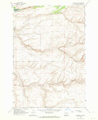
1962 · Stanfield SE
USGS Topo · 1:24,000
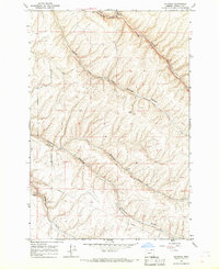
1966 · Holdman
USGS Topo · 1:24,000
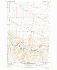
1966 · Barnhart
USGS Topo · 1:24,000
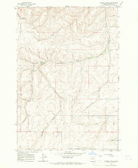
1966 · Coombs Canyon
USGS Topo · 1:24,000
1968 · Echo SE
USGS Topo · 1:24,000