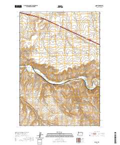
2020 Map of Nolin
USGS Topo · Published 2020About this map
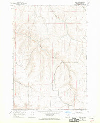
The Umatilla River valley defines the central landscape of this Umatilla County quadrangle, where the settlement of Nolin sits at a critical bend in the water's course. This area is a study in hydraulic and transport engineering, featuring the prominent Slusher Canal and a sharp railway Horseshoe Curve that navigates the steep canyon walls. Local history is anchored by the Nolin Cem, located just south of the river, while the surrounding upland plateaus are deeply incised by drainage systems such as Speare Canyon and Mud Spring Canyon. The map reveals a high-desert environment where water sources like Cherry Spring and Mud Spring were essential for early ranching and agricultural development. A grid of county roads, including Moll Rd and Peebler Rd, services the wheat-growing lands that stretch across the northern sections of the map.
Find a feature on this map
35 named features on this map. Tap any name to fly to it.
Don’t see what you’re looking for? This feature index may not catch every label — zoom into the map to look around manually.
Map Details
Editions of this 2020 Nolin Map
This is the sole edition of this map. No revisions or reprints were ever made.
Other maps of this area
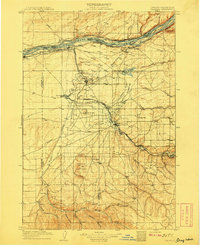
1908 · Umatilla
USGS Topo · 1:125,000
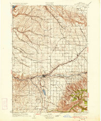
1935 · Pendleton
USGS Topo · 1:125,000

1953 · Pendleton
USGS Topo · 1:250,000

1956 · Pendleton
USGS Topo · 1:250,000
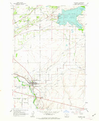
1962 · Stanfield
USGS Topo · 1:24,000
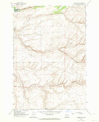
1962 · Stanfield SE
USGS Topo · 1:24,000
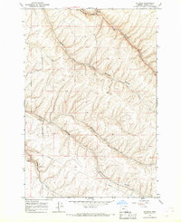
1966 · Holdman
USGS Topo · 1:24,000
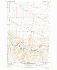
1966 · Barnhart
USGS Topo · 1:24,000
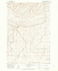
1966 · Coombs Canyon
USGS Topo · 1:24,000
1968 · Echo SE
USGS Topo · 1:24,000