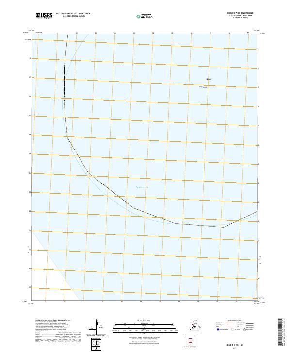
2021 Map of Nome D-7 NE
USGS Topo · Published 2021About this map
King Island rises from the cold waters of the Bering Sea in this modern survey, which documents one of the most distinctive geographical locations in the Nome Census Area. The settlement of Ukivok, traditionally known as a village built into the steep cliffs of the island, is the primary landmark on this maritime-dominated sheet. The map illustrates the isolated nature of the island’s northern portion, where the landscape is defined by its dramatic verticality rather than roads or infrastructure. This data provides a clear record of the island's extent and its relationship to the surrounding sea, serving as a vital reference for researchers focused on the remote outposts of the Alaska coast.
Find a feature on this map
5 named features on this map. Tap any name to fly to it.
Don’t see what you’re looking for? This feature index may not catch every label — zoom into the map to look around manually.
Map Details
Editions of this 2021 Nome D-7 NE Map
This is the sole edition of this map. No revisions or reprints were ever made.






