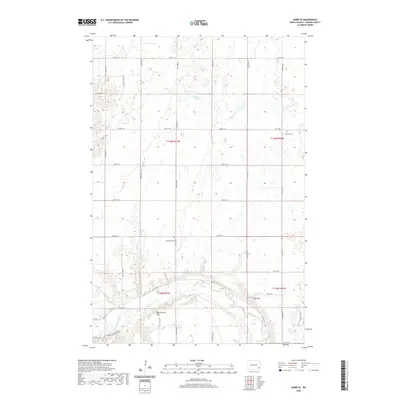
2020 Map of Nome SE
USGS Topo · Published 2020About this map
The Sheyenne River snakes through the southern portion of this landscape, carving a distinct valley through the prairie of Ransom County. The river corridor serves as a focal point for both modern recreation and historical placement, hosting a segment of the N Country National Scenic Trail as it follows the winding course of Valley Rd. To the north, the terrain transitions into a glaciated plateau characterized by numerous wetlands and small water bodies such as Brower Lake. The rural character of Moore Township is evidenced by the strict section-line road grid and the presence of small, localized landmarks. Genealogists and local historians can find the sites of Bethania Cem and Fillmore Cem, which serve as quiet markers of the community's early settlement. Prominent elevations like Oestreicher Hill and Scott Hill provide overlooks across this largely agricultural expanse.
Find a feature on this map
22 named features on this map. Tap any name to fly to it.
Don’t see what you’re looking for? This feature index may not catch every label — zoom into the map to look around manually.
Map Details
Editions of this 2020 Nome SE Map
This is the sole edition of this map. No revisions or reprints were ever made.
Other maps of this area

1897 · Tower
USGS Topo · 1:125,000

1953 · Fargo
USGS Topo · 1:250,000

1956 · Fargo
USGS Topo · 1:250,000
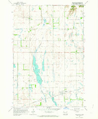
1962 · Englevale
USGS Topo · 1:24,000

1962 · Lisbon
USGS Topo · 1:24,000

1962 · Elliott
USGS Topo · 1:24,000

1965 · Lucca
USGS Topo · 1:24,000

1967 · Ft. Ransom
USGS Topo · 1:24,000
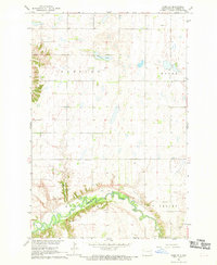
1967 · Nome SE
USGS Topo · 1:24,000
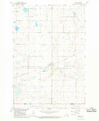
1967 · Nome
USGS Topo · 1:24,000