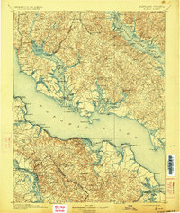
1898 Map of Nomini
USGS Topo · Published 1923About this map
Leonardtown serves as a focal point in this tidewater landscape, where the confluence of the Potomac River, Wicomico River, and Patuxent River defines the geography of St. Mary's County and the Virginia Northern Neck. The late 19th-century economy is vividly represented by a dense network of river-access points such as Sotterley Wharf, Queen Tree Landing, and Nomini Ferry. These sites highlight the era's reliance on maritime transport for moving goods and people between the Maryland shore and Virginia settlements like Kinsale and Hague.
Find a feature on this map
208 named features on this map. Tap any name to fly to it.
Don’t see what you’re looking for? This feature index may not catch every label — zoom into the map to look around manually.
Map Details
Editions of this 1898 Nomini Map
5 editions found

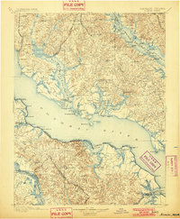
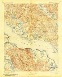
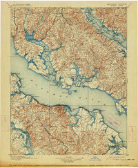
Other maps of this area

1889 · Fredericksburg
USGS Topo · 1:125,000

1890 · Mt. Vernon
USGS Topo · 1:125,000

1891 · Mt. Vernon
USGS Topo · 1:125,000

1892 · Leonardtown
USGS Topo · 1:62,500

1892 · Fredericksburg
USGS Topo · 1:125,000

1892 · Drum Point
USGS Topo · 1:62,500

1892 · Prince Frederick
USGS Topo · 1:62,500

1892 · Brandywine
USGS Topo · 1:62,500

1892 · Piney Point
USGS Topo · 1:62,500

1892 · Montross
USGS Topo · 1:62,500
Featured Places
- Lexington Park, MD
- California, Lexington Park
- Wildewood, Lexington Park
- Colonial Beach, VA
- Golden Beach, MD