
1898 Map of Nomini
USGS Topo · Published 1898About this map
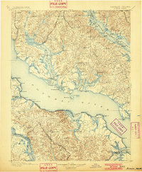
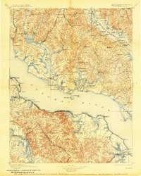
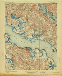
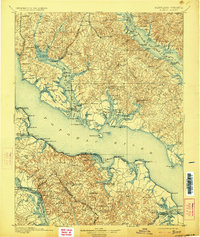
The Potomac River dominates this landscape, serving as the primary geographic artery between Maryland and Virginia at the end of the 19th century. This survey reveals a deeply articulated shoreline defined by hundreds of points, sounds, and tidal creeks, where the river economy is evidenced by a dense network of river landings and wharves such as Wilkerson Wharf and Plowdens Wharf. Inland, the convergence of the Pope Creek Br. Pennsylvania R.R. and the Washington and Potomac R.R. near Charlotte Hall and Mechanicsville highlights the transition from maritime transport to rail-based commerce.
Find a feature on this map
200 named features on this map. Tap any name to fly to it.
Don’t see what you’re looking for? This feature index may not catch every label — zoom into the map to look around manually.
Map Details
Editions of this 1898 Nomini Map
5 editions found
Other maps of this area

1889 · Fredericksburg
USGS Topo · 1:125,000

1890 · Mt. Vernon
USGS Topo · 1:125,000

1891 · Mt. Vernon
USGS Topo · 1:125,000

1892 · Leonardtown
USGS Topo · 1:62,500

1892 · Fredericksburg
USGS Topo · 1:125,000

1892 · Drum Point
USGS Topo · 1:62,500

1892 · Prince Frederick
USGS Topo · 1:62,500

1892 · Brandywine
USGS Topo · 1:62,500

1892 · Piney Point
USGS Topo · 1:62,500

1892 · Montross
USGS Topo · 1:62,500
Featured Places
- Lexington Park, MD
- California, Lexington Park
- Wildewood, Lexington Park
- Colonial Beach, VA
- Golden Beach, MD