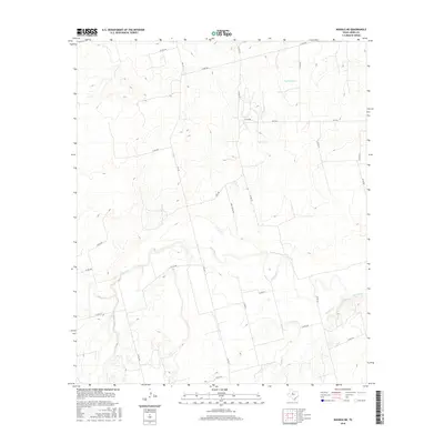
2016 Map of Noodle NE
USGS Topo · Published 2016About this map
The Clear Fork river winds through this portion of Jones County, carving a distinct hydrological pattern across the West Texas landscape. This drainage network, including the lower reaches of Thompson Cr and Noodle Cr, dictates the layout of local infrastructure and land use. The map reveals a transition from traditional rural routes like Ranch Rd and FM 126 to more localized segments such as Golf Corse Rd, illustrating how modern recreation and ranching coexist in this agrarian region. A dense grid of county roads, such as Co Rd 508 and Co Rd 478, provides detailed access points for researchers studying specific property boundaries and land divisions along the river valleys. The convergence of these watercourses creates a complex system of floodplains and low-lying areas that have historically influenced both settlement patterns and transport corridors like FM 2746.
Find a feature on this map
28 named features on this map. Tap any name to fly to it.
Don’t see what you’re looking for? This feature index may not catch every label — zoom into the map to look around manually.
Map Details
Editions of this 2016 Noodle NE Map
This is the sole edition of this map. No revisions or reprints were ever made.
Other maps of this area
1891 · Anson
USGS Topo · 1:125,000
1893 · Roby
USGS Topo · 1:125,000
1893 · Anson
USGS Topo · 1:125,000
1954 · Big Spring
USGS Topo · 1:250,000
1954 · Abilene
USGS Topo · 1:250,000
1957 · Hawley
USGS Topo · 1:62,500
1957 · Noodle
USGS Topo · 1:62,500
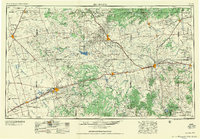
1958 · Big Spring
USGS Topo · 1:250,000
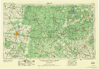
1958 · Abilene
USGS Topo · 1:250,000
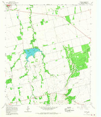
1965 · Neinda
USGS Topo · 1:24,000