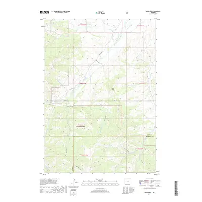
2017 Map of Noon Point
USGS Topo · Published 2017About this map
Shoshone National Forest dominates the southern landscape of this 2017 terrain study, where high ridges and deep drainage basins define the border between Park and Hot Springs counties. The high elevation of Noon Point stands as a central landmark above the Wood River, which is fed by numerous seasonal tributaries including Quaking Aspen Cr and Rennerberg Cr. This region's irrigation history is visible through the Nelson Ditch and the aptly named Only Chance Ditch in the north, showing how water was diverted to support the arid foothills. A network of pack trails and primitive routes, such as the Aspen Creek Trail and Gooseberry Trl, suggests a landscape primarily used for backcountry recreation and forestry rather than dense settlement.
Find a feature on this map
31 named features on this map. Tap any name to fly to it.
Don’t see what you’re looking for? This feature index may not catch every label — zoom into the map to look around manually.
Map Details
Editions of this 2017 Noon Point Map
This is the sole edition of this map. No revisions or reprints were ever made.
Other maps of this area
1904 · Kirwin
USGS Topo · 1:125,000
1906 · Kirwin
USGS Topo · 1:125,000
1911 · Meeteetse
USGS Topo · 1:62,500
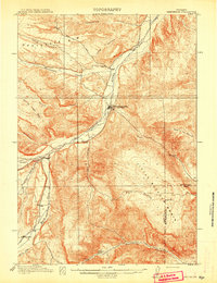
1913 · Meeteetse
USGS Topo · 1:62,500

1955 · Cody
USGS Topo · 1:250,000

1955 · Thermopolis
USGS Topo · 1:250,000
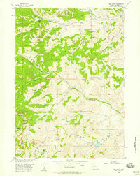
1956 · Milk Creek
USGS Topo · 1:24,000
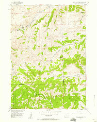
1956 · Soapy Dale Peak
USGS Topo · 1:24,000
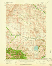
1957 · Sunshine Reservoir
USGS Topo · 1:62,500

1958 · Cody
USGS Topo · 1:250,000