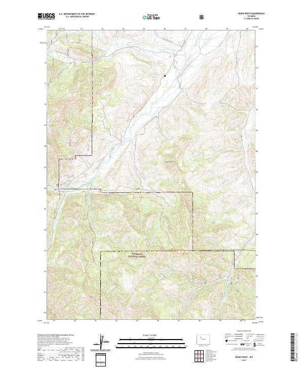
2021 Map of Noon Point
USGS Topo · Published 2021About this map
Noon Point stands as a prominent landmark overlooking a network of drainages and early irrigation projects in Park and Hot Springs counties. This 2021 survey illustrates the continued management of the Shoshone National Forest, where a complex system of pack trails and forest roads facilitates access through the high country. Resource management is evident in the presence of the Nelson Ditch and the Only Chance Ditch to the north, while the southern reaches are defined by the headwaters of Gooseberry Cr and the Wood River. Several established routes like the Aspen Creek Trl and Chimney Creek Trl provide a window into the recreational and logistical infrastructure of the modern wilderness, connecting the various forks and creeks that carve through the landscape.
Find a feature on this map
30 named features on this map. Tap any name to fly to it.
Don’t see what you’re looking for? This feature index may not catch every label — zoom into the map to look around manually.
Map Details
Editions of this 2021 Noon Point Map
This is the sole edition of this map. No revisions or reprints were ever made.
Other maps of this area

1904 · Kirwin
USGS Topo · 1:125,000

1906 · Kirwin
USGS Topo · 1:125,000

1911 · Meeteetse
USGS Topo · 1:62,500

1913 · Meeteetse
USGS Topo · 1:62,500

1955 · Cody
USGS Topo · 1:250,000

1955 · Thermopolis
USGS Topo · 1:250,000

1956 · Milk Creek
USGS Topo · 1:24,000

1956 · Soapy Dale Peak
USGS Topo · 1:24,000

1957 · Sunshine Reservoir
USGS Topo · 1:62,500

1958 · Cody
USGS Topo · 1:250,000