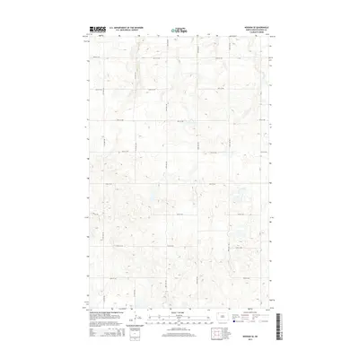
2014 Map of Noonan SE
USGS Topo · Published 2014About this map
Divide County terrain is defined by a rhythmic grid of rural roads and prairie potholes in this early twenty-first-century survey. The landscape is dominated by a systematic network of section-line roads, including 112th Ave NW and 100th St NW, which segment the agricultural land into nearly perfect square units. This rectilinear human imprint is layered over a complex natural topography of small, scattered depressions and seasonal wetlands characteristic of the northern plains. Along the eastern edge of the quadrangle, CR-21 serves as a primary north-south connector, linking the various east-west routes like 99th St NW and 93rd St NW. This map provides a clear record of the spatial organization of North Dakota's farmland, showing how modern transportation routes continue to follow the historic township and range surveys.
Find a feature on this map
14 named features on this map. Tap any name to fly to it.
Don’t see what you’re looking for? This feature index may not catch every label — zoom into the map to look around manually.
Map Details
Editions of this 2014 Noonan SE Map
This is the sole edition of this map. No revisions or reprints were ever made.
Other maps of this area
1947 · Noonan
USGS Topo · 1:24,000
1949 · Columbus SW
USGS Topo · 1:24,000
1949 · Paulson
USGS Topo · 1:24,000
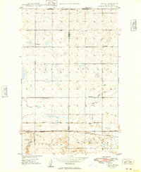
1949 · Atcoal
USGS Topo · 1:24,000
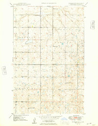
1949 · Noonan SW
USGS Topo · 1:24,000
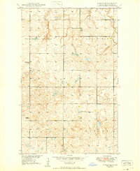
1949 · Noonan SE
USGS Topo · 1:24,000
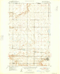
1949 · Noonan
USGS Topo · 1:24,000
1950 · Columbus
USGS Topo · 1:62,500
1950 · Noonan
USGS Topo · 1:62,500

1953 · Williston
USGS Topo · 1:250,000