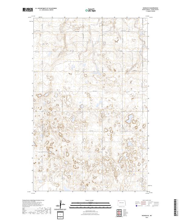
2024 Map of Noonan SE
USGS Topo · Published 2024About this map
The Divide County Waterfowl Production Area dominates the northern landscape of this corner of the state, signaling the importance of conservation and habitat in the High Plains. This territory is primarily characterized by its section-line grid, where gravel and dirt roads like 110th Ave NW and 100th St NW define the boundaries of agricultural operations and public land. The layout of these routes, including the prominent Farm To Market Rd, reveals a modern rural economy still deeply tied to the land-management patterns established generations ago. Small wetlands and depressions are scattered throughout the quadrangle, which is partitioned into townships including t162n r96w and t161n r95w. These administrative markers, while largely invisible on the ground, remain the primary identifiers for land ownership and genealogy in this part of Divide County.
Find a feature on this map
21 named features on this map. Tap any name to fly to it.
Don’t see what you’re looking for? This feature index may not catch every label — zoom into the map to look around manually.
Map Details
Editions of this 2024 Noonan SE Map
This is the sole edition of this map. No revisions or reprints were ever made.
Other maps of this area

1947 · Noonan
USGS Topo · 1:24,000

1949 · Columbus SW
USGS Topo · 1:24,000

1949 · Paulson
USGS Topo · 1:24,000

1949 · Atcoal
USGS Topo · 1:24,000

1949 · Noonan SW
USGS Topo · 1:24,000

1949 · Noonan SE
USGS Topo · 1:24,000

1949 · Noonan
USGS Topo · 1:24,000

1950 · Columbus
USGS Topo · 1:62,500

1950 · Noonan
USGS Topo · 1:62,500

1953 · Williston
USGS Topo · 1:250,000