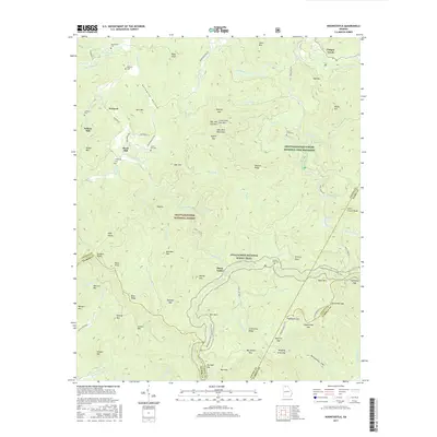
2017 Map of Noontootla
USGS Topo · Published 2017About this map
Newport and Wilson Mill serve as the primary markers of settlement in this northern Georgia mountain landscape, where family heritage is preserved in numerous burial grounds like Johnson Cem and Garrett Cem. The drainage of Noontootla Cr dominates the valley floor, flowing past Stock Hill and creating the landmark Noontootla Falls. This area is defined by the intersections of several county lines, including the borders of Fannin, Union, Gilmer, and Lumpkin, reflecting the complex political geography of the High Country.
Find a feature on this map
98 named features on this map. Tap any name to fly to it.
Don’t see what you’re looking for? This feature index may not catch every label — zoom into the map to look around manually.
Map Details
Editions of this 2017 Noontootla Map
This is the sole edition of this map. No revisions or reprints were ever made.
Other maps of this area
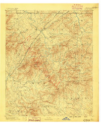
1888 · Ellijay
USGS Topo · 1:125,000
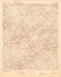
1892 · Ellijay
USGS Topo · 1:125,000
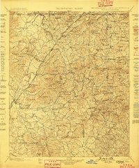
1898 · Ellijay
USGS Topo · 1:125,000
1911 · Ellijay
USGS Topo · 1:125,000
1935 · Mulky Gap
USGS Topo · 1:24,000
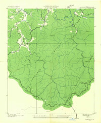
1935 · Noontootla
USGS Topo · 1:24,000
1935 · Lake Toccoa
USGS Topo · 1:24,000
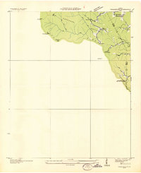
1935 · Tickanetley
USGS Topo · 1:24,000
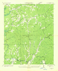
1935 · Wilscot
USGS Topo · 1:24,000
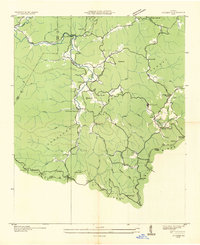
1935 · Suches
USGS Topo · 1:24,000