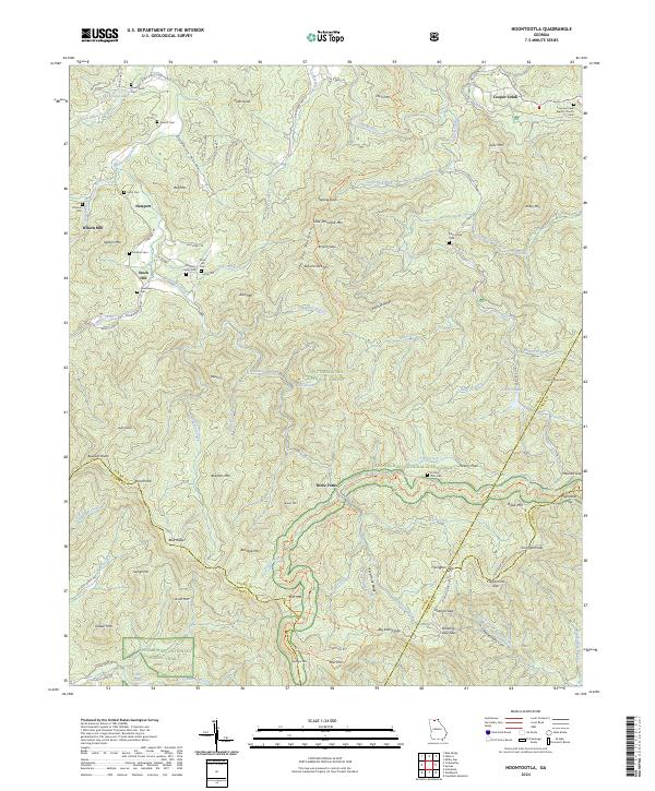
2024 Map of Noontootla
USGS Topo · Published 2024About this map
Noontootla Creek carves a deep valley through the southern Appalachian high country, anchoring a landscape where family legacy is preserved in numerous small burial grounds. Small communities such as Newport and Wilson Mill sit along the creek's upper reaches, while the Stockhill Family Cem, Kirby Cem, and Greenway Cem mark the heritage of early settlers. The intersection of local history and public land is evident at Three Forks, where multiple streams converge near the Appalachian National Scenic Trail and the Benton MacKaye Trl.
Find a feature on this map
116 named features on this map. Tap any name to fly to it.
Don’t see what you’re looking for? This feature index may not catch every label — zoom into the map to look around manually.
Map Details
Editions of this 2024 Noontootla Map
This is the sole edition of this map. No revisions or reprints were ever made.
Other maps of this area

1888 · Ellijay
USGS Topo · 1:125,000

1892 · Ellijay
USGS Topo · 1:125,000

1898 · Ellijay
USGS Topo · 1:125,000

1911 · Ellijay
USGS Topo · 1:125,000

1935 · Mulky Gap
USGS Topo · 1:24,000

1935 · Noontootla
USGS Topo · 1:24,000

1935 · Lake Toccoa
USGS Topo · 1:24,000

1935 · Tickanetley
USGS Topo · 1:24,000
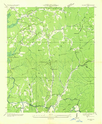
1935 · Wilscot
USGS Topo · 1:24,000
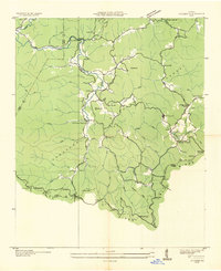
1935 · Suches
USGS Topo · 1:24,000