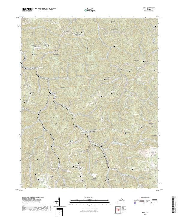
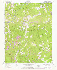
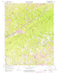
2022 Map of Nora
USGS Topo · Published 2022About this map
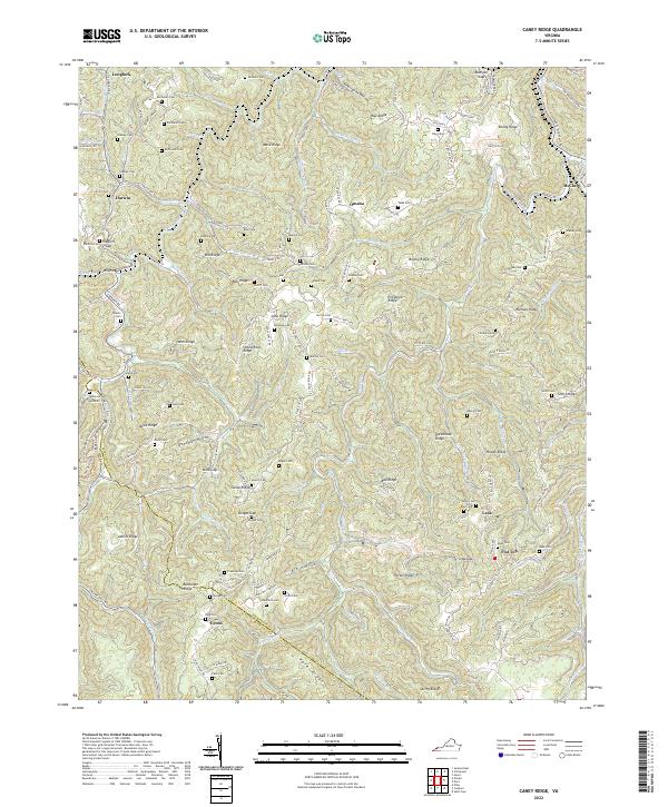
The McClure River and its numerous tributaries, including Buffalo Creek and Open Fork, carve a dense network of ridges and hollows through this portion of Dickenson County. Small settlements such as Nora, Wakenva, and Trammel are situated along these watercourses, connected by routes like State Rte 604 and Dante Mountain Rd. The terrain is defined by prominent elevations including Wampler Ridge, Counts Ridge, and Skeens Ridge, which dictated the early settlement patterns of the region.
Find a feature on this map
133 named features on this map. Tap any name to fly to it.
Don’t see what you’re looking for? This feature index may not catch every label — zoom into the map to look around manually.
Map Details
Editions of this 2022 Nora Map
This is the sole edition of this map. No revisions or reprints were ever made.
Historical Maps of Nora Through Time
10 maps found
1916 Regina
Dickenson County, VA
1935 Wilder
Dickenson County, VA
1954 Jenkins East
Dickenson County, VA
1958 Caney Ridge
Dickenson County, VA
1958 Duty
Dickenson County, VA
1958 Nora
Dickenson County, VA
1963 Jenkins East
Dickenson County, VA
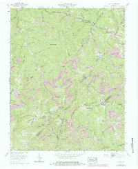
2022 Caney Ridge
Dickenson County, VA

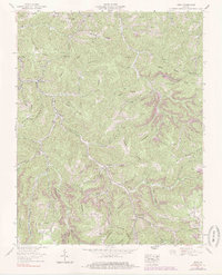
2022 Duty
Dickenson County, VA
2022 Nora
Dickenson County, VA