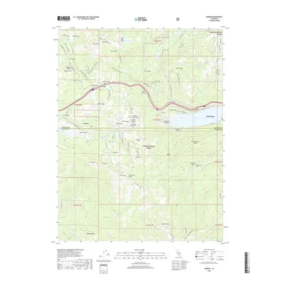
2018 Map of Norden
USGS Topo · Published 2018About this map
Donner Pass serves as the central focal point of this high Sierra Nevada study, illustrating the complex intersection of historical transportation and modern recreation. The legendary crossing is marked by the Donner Summit Bridge and McGlashan Point, overlooking the western end of Donner Lake. The map reveals a landscape defined by seasonal industry and sporting history, with the Sugar Bowl ski area and Boreal Ridge dominating the slopes near Norden.
Find a feature on this map
105 named features on this map. Tap any name to fly to it.
Don’t see what you’re looking for? This feature index may not catch every label — zoom into the map to look around manually.
Map Details
Editions of this 2018 Norden Map
This is the sole edition of this map. No revisions or reprints were ever made.
Other maps of this area

1891 · Truckee
USGS Topo · 1:125,000

1893 · Truckee
USGS Topo · 1:125,000

1895 · Truckee
USGS Topo · 1:125,000

1932 · Truckee
USGS Topo · 1:96,000

1940 · Truckee
USGS Topo · 1:125,000

1953 · Granite Chief
USGS Topo · 1:24,000
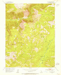
1953 · Royal Gorge
USGS Topo · 1:24,000

1953 · Granite Chief
USGS Topo · 1:62,500

1955 · Truckee
USGS Topo · 1:24,000
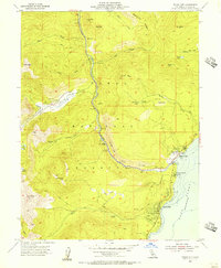
1955 · Tahoe City
USGS Topo · 1:24,000