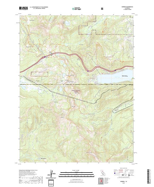
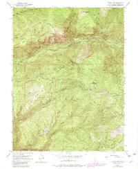
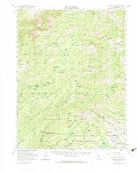
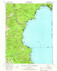
2022 Map of Norden
USGS Topo · Published 2022About this map
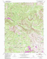
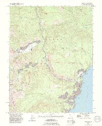
Donner Pass serves as the high-altitude centerpiece for this portion of the Sierra Nevada, marking a legendary corridor through Tahoe National Forest. The landscape is defined by its dramatic granite ridges and alpine basins, where the headwaters of the S Yuba River and the N Fork American River originate. High-elevation settlements such as Norden and the winter recreation hub of Sugar Bowl are shown alongside the historic alignment of the Old Donner Summit Rd, which traces the steep topography leading down toward Donner Lake.
Find a feature on this map
102 named features on this map. Tap any name to fly to it.
Don’t see what you’re looking for? This feature index may not catch every label — zoom into the map to look around manually.
Map Details
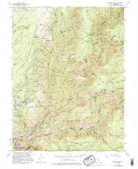
Editions of this 2022 Norden Map
This is the sole edition of this map. No revisions or reprints were ever made.
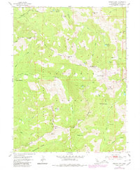
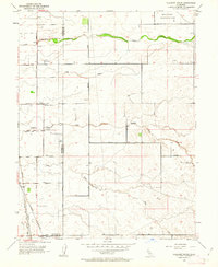
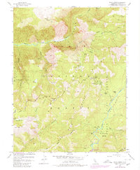
Historical Maps of West End Donner Through Time
46 maps found
1910 Pleasant Grove
Placer County, CA

1942 Markham Ravine
Placer County, CA
1950 Devil Peak
Placer County, CA
1952 Duncan Peak
Placer County, CA
1952 Duncan Peak
Placer County, CA

1952 Greek Store
Placer County, CA
1952 Michigan Bluff
Placer County, CA
1952 Westville
Placer County, CA
1953 Bunker Hill
Placer County, CA
1953 Granite Chief
Placer County, CA
1953 Granite Chief
Placer County, CA
1953 Pleasant Grove
Placer County, CA
1953 Royal Gorge
Placer County, CA
1953 Wentworth Springs
Placer County, CA

1954 Gold Hill
Placer County, CA

1955 Homewood
Placer County, CA
1955 Martis Peak
Placer County, CA
1955 Norden
Placer County, CA
1955 Tahoe City
Placer County, CA
1955 Tahoe
Placer County, CA
1967 Pleasant Grove
Placer County, CA

1992 Homewood
Placer County, CA

1992 Martis Peak
Placer County, CA
1992 Tahoe City
Placer County, CA
2000 Duncan Peak
Placer County, CA

2000 Granite Chief
Placer County, CA
2000 Greek Store
Placer County, CA

2000 Michigan Bluff
Placer County, CA

2000 Norden
Placer County, CA

2000 Royal Gorge
Placer County, CA

2000 Westville
Placer County, CA
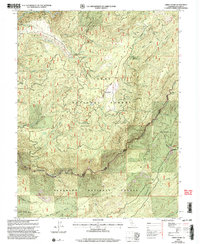
2021 Bunker Hill
Placer County, CA
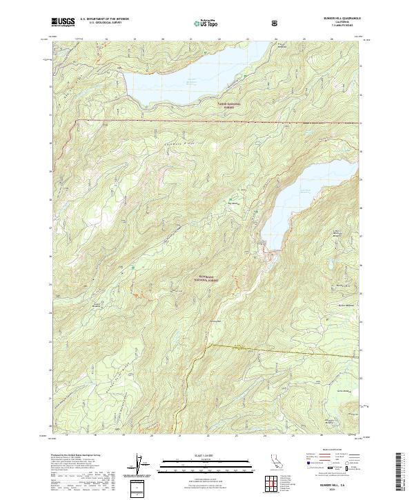
2021 Devil Peak
Placer County, CA
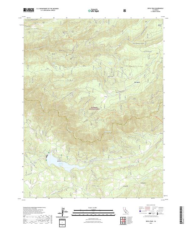
2021 Greek Store
Placer County, CA
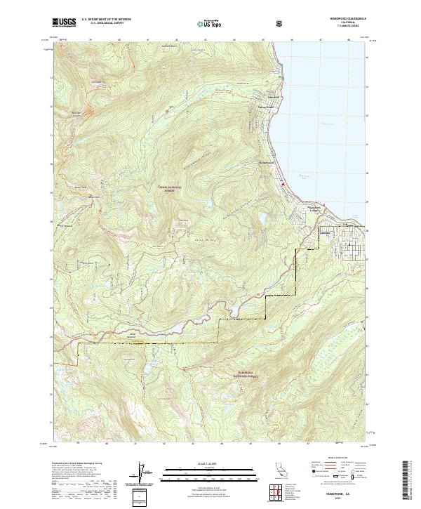
2021 Homewood
Placer County, CA
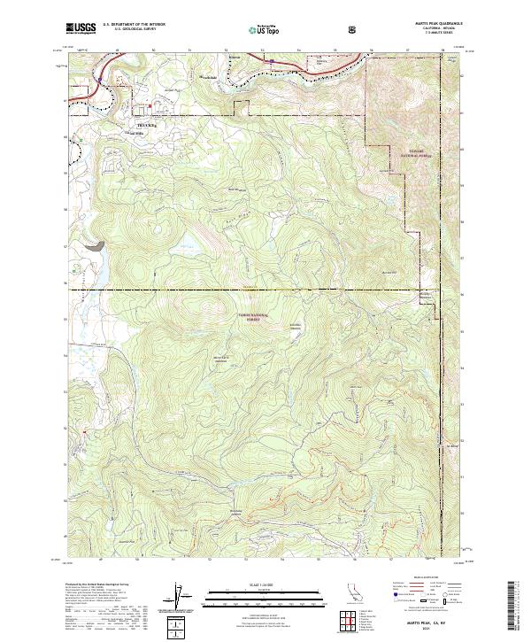
2021 Martis Peak
Placer County, CA
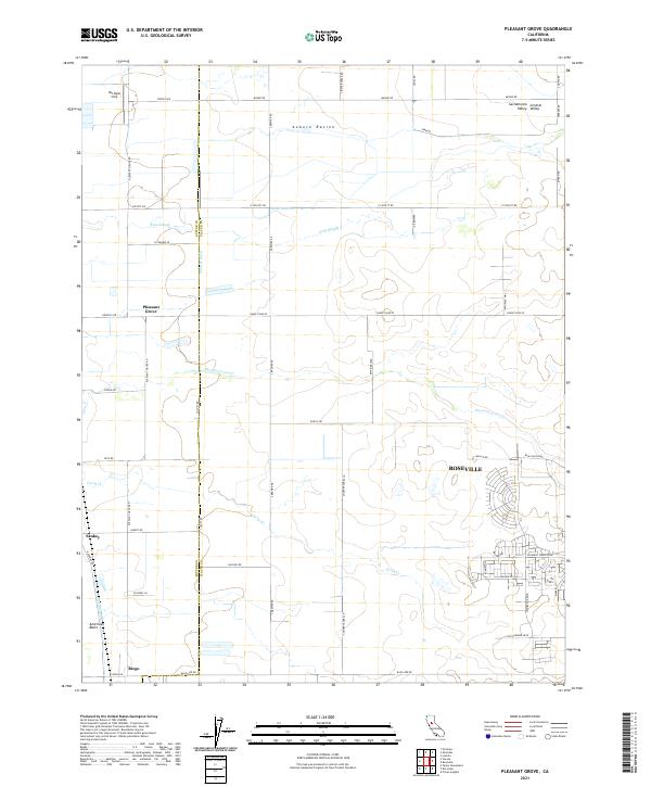
2021 Pleasant Grove
Placer County, CA
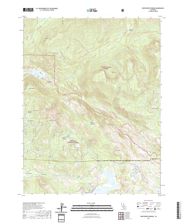
2021 Wentworth Springs
Placer County, CA
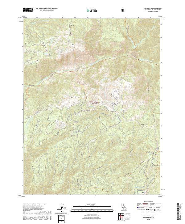
2022 Duncan Peak
Placer County, CA
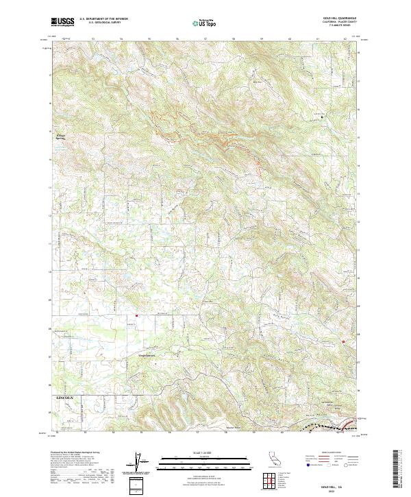
2022 Gold Hill
Placer County, CA
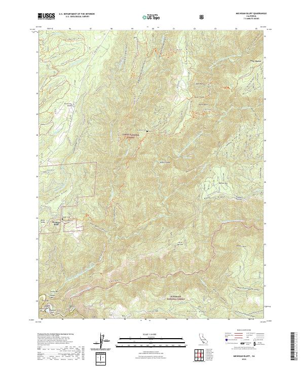
2022 Michigan Bluff
Placer County, CA
2022 Norden
Placer County, CA
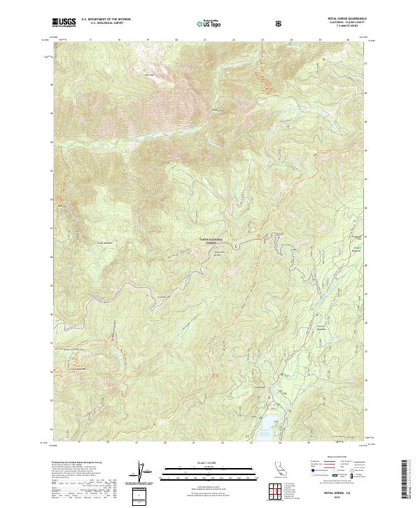
2022 Royal Gorge
Placer County, CA
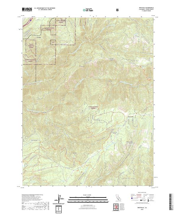
2022 Westville
Placer County, CA
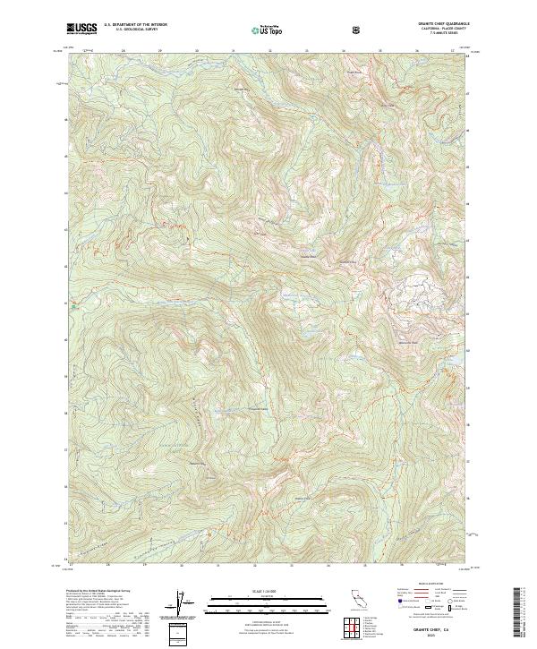
2023 Granite Chief
Placer County, CA
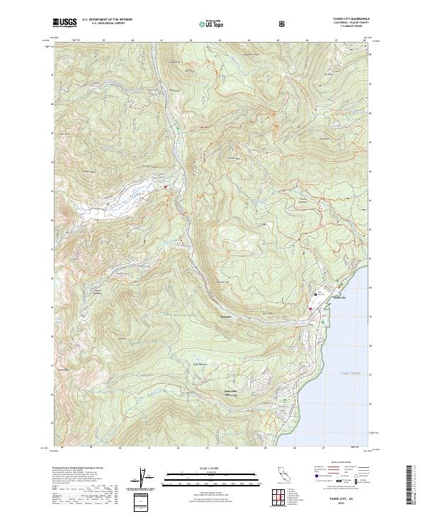
2023 Tahoe City
Placer County, CA