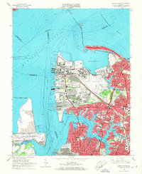
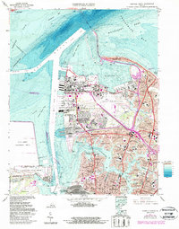
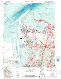
1965 Map of Norfolk North
USGS Topo · Published 1968About this map
The sprawling maritime and military infrastructure of the Hampton Roads waterfront dominates this mid-1960s survey. At the northern tip of the peninsula, the Naval Base and Naval Air Station stand as massive installations alongside the Hampton Roads Army Terminal, reflecting the area's strategic importance during the Cold War. The map captures the complex shoreline from Sewell Point to the narrow Willoughby Spit, where the Hampton Roads Bridge-Tunnel provides a vital link across the water.
Find a feature on this map
80 named features on this map. Tap any name to fly to it.
Don’t see what you’re looking for? This feature index may not catch every label — zoom into the map to look around manually.
Map Details
Editions of this 1965 Norfolk North Map
6 editions found
Other maps of this area

1907 · Norfolk
USGS Topo · 1:125,000

1907 · Hampton
USGS Topo · 1:62,500

1918 · Cape Henry
USGS Topo · 1:62,500

1919 · Cape Henry
USGS Topo · 1:62,500

1921 · Newport News
USGS Topo · 1:62,500

1943 · Richmond
USGS Topo · 1:250,000

1944 · Hampton
USGS Topo · 1:24,000

1944 · Morrison
USGS Topo · 1:24,000

1944 · Norfolk South
USGS Topo · 1:25,000

1948 · Norfolk South
USGS Topo · 1:24,000