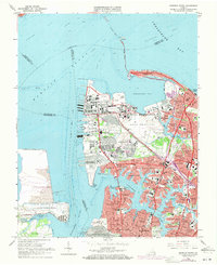
1965 Map of Norfolk North
USGS Topo · Published 1971About this map
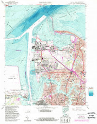
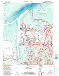
Hampton Roads serves as the focal point of this mid-century coastal survey, illustrating the critical intersection of military infrastructure and urban expansion in Virginia. The northern reach of Norfolk is dominated by the Naval Air Station and the sprawling Naval Base at Sewells Point, reflecting the region's immense strategic importance. To the east, the Hampton Roads Bridge-Tunnel spans the water toward Fort Wool, while residential development fills the gaps between industrial and military zones. Neighborhoods like Lochhaven, Larchmont, and Colonial Place front the winding Lafayette River, showing the post-war suburban density. Further south, the Norfolk and Western rail lines terminate at the massive Lamberts Point Terminal, a testament to the coal and shipping economy that defined the Elizabeth River waterfront during this era.
Find a feature on this map
102 named features on this map. Tap any name to fly to it.
Don’t see what you’re looking for? This feature index may not catch every label — zoom into the map to look around manually.
Map Details
Editions of this 1965 Norfolk North Map
6 editions found
Other maps of this area

1907 · Norfolk
USGS Topo · 1:125,000

1907 · Hampton
USGS Topo · 1:62,500

1918 · Cape Henry
USGS Topo · 1:62,500

1919 · Cape Henry
USGS Topo · 1:62,500

1921 · Newport News
USGS Topo · 1:62,500

1943 · Richmond
USGS Topo · 1:250,000

1944 · Hampton
USGS Topo · 1:24,000

1944 · Morrison
USGS Topo · 1:24,000

1944 · Norfolk South
USGS Topo · 1:25,000

1948 · Norfolk South
USGS Topo · 1:24,000