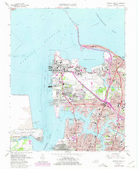
1965 Map of Norfolk North
USGS Topo · Published 1980About this map
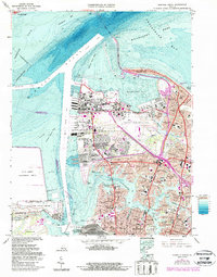
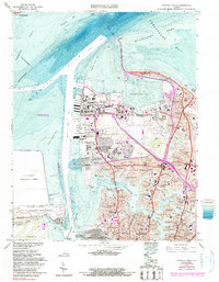
Willoughby Spit and Sewells Point anchor this mid-century look at the intensive naval and urban infrastructure of Norfolk. The landscape is dominated by the sprawling U S Naval Reservation and Naval Air Station, illustrating the strategic maritime importance of the Hampton Roads region. Significant residential expansion is visible through established neighborhoods like Larchmont, Edgewater, and Wards Corner, many of which developed to support the growing military presence. Educational and civic growth is marked by institutions such as Old Dominion College and Granby High Sch. Along the Elizabeth River, the industrial character of the city is evident at the Lamberts Point Terminal, while the northern coastline is defined by the Hampton Roads Bridge-Tunnel connecting to the larger bay area. These details capture a period of mid-century modernization and military consolidation before late-century urban shifts.
Find a feature on this map
70 named features on this map. Tap any name to fly to it.
Don’t see what you’re looking for? This feature index may not catch every label — zoom into the map to look around manually.
Map Details
Editions of this 1965 Norfolk North Map
6 editions found
Other maps of this area

1907 · Norfolk
USGS Topo · 1:125,000

1907 · Hampton
USGS Topo · 1:62,500

1918 · Cape Henry
USGS Topo · 1:62,500

1919 · Cape Henry
USGS Topo · 1:62,500

1921 · Newport News
USGS Topo · 1:62,500

1943 · Richmond
USGS Topo · 1:250,000

1944 · Hampton
USGS Topo · 1:24,000

1944 · Morrison
USGS Topo · 1:24,000

1944 · Norfolk South
USGS Topo · 1:25,000

1948 · Norfolk South
USGS Topo · 1:24,000