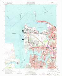
1965 Map of Norfolk North
USGS Topo · Published 1974About this map
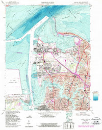
Sewell Point and the massive Naval Base complex dominate this coastal landscape at the gateway to the Hampton Roads. The map captures the dense urban and military infrastructure of the early 1970s, where the Hampton Roads Bridge Tunnel connects the peninsula to Willoughby Spit. Residential growth is evident in neighborhoods like Algonquin Park, Larchmont, and Talbot Park, which line the meandering shores of the Lafayette River. Institutional landmarks of regional importance are clearly visible, including Old Dominion College, the U S Public Health Service Hospital, and the historic Norfolk Academy. Further south, the industrial and transport identity of the region is solidified by the Norfolk and Western rail lines serving the Lamberts Point Terminal on the Elizabeth River.
Find a feature on this map
91 named features on this map. Tap any name to fly to it.
Don’t see what you’re looking for? This feature index may not catch every label — zoom into the map to look around manually.
Map Details
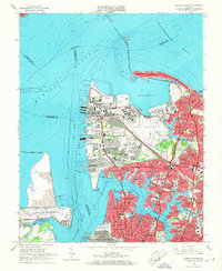
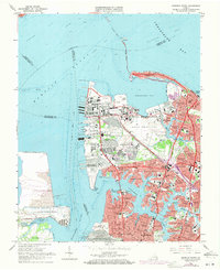
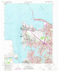
Editions of this 1965 Norfolk North Map
6 editions found
Other maps of this area

1907 · Norfolk
USGS Topo · 1:125,000

1907 · Hampton
USGS Topo · 1:62,500

1918 · Cape Henry
USGS Topo · 1:62,500

1919 · Cape Henry
USGS Topo · 1:62,500

1921 · Newport News
USGS Topo · 1:62,500

1943 · Richmond
USGS Topo · 1:250,000

1944 · Hampton
USGS Topo · 1:24,000

1944 · Morrison
USGS Topo · 1:24,000

1944 · Norfolk South
USGS Topo · 1:25,000

1948 · Norfolk South
USGS Topo · 1:24,000