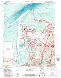
1965 Map of Norfolk North
USGS Topo · Published 1991About this map
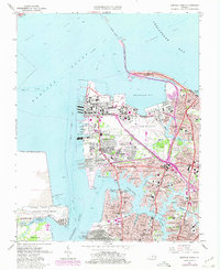
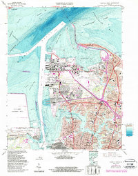
U S Naval Reservation dominance defines this waterfront survey of the lower Chesapeake Bay, where the massive logistical footprint of the Naval Air Station and U S Naval Supply Center meets the residential growth of northern Norfolk. The map records the intricate shoreline of the Lafayette River and Willoughby Bay, revealing a landscape transitioning from military infrastructure to established mid-century neighborhoods like Larchmont, Edgewater, and Lochhaven.
Find a feature on this map
75 named features on this map. Tap any name to fly to it.
Don’t see what you’re looking for? This feature index may not catch every label — zoom into the map to look around manually.
Map Details
Editions of this 1965 Norfolk North Map
6 editions found
Other maps of this area

1907 · Norfolk
USGS Topo · 1:125,000

1907 · Hampton
USGS Topo · 1:62,500

1918 · Cape Henry
USGS Topo · 1:62,500

1919 · Cape Henry
USGS Topo · 1:62,500

1921 · Newport News
USGS Topo · 1:62,500

1943 · Richmond
USGS Topo · 1:250,000

1944 · Hampton
USGS Topo · 1:24,000

1944 · Morrison
USGS Topo · 1:24,000

1944 · Norfolk South
USGS Topo · 1:25,000

1948 · Norfolk South
USGS Topo · 1:24,000