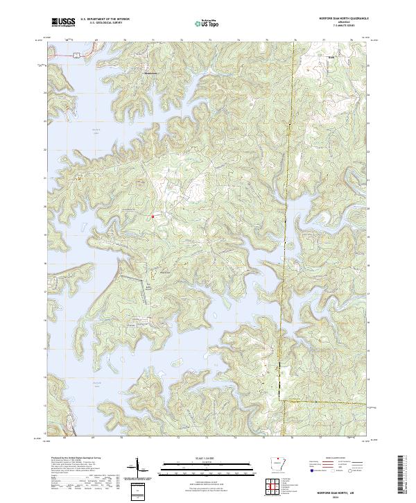
2024 Map of Norfork Dam North
USGS Topo · Published 2024About this map
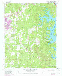
Norfork Lake dominates this section of the Ozarks, its intricate fingers and coves shaping the landscape of eastern Baxter County. The settlement of Henderson sits near the northern reaches of the lake where US Hwy 62 412 crosses the water, while the smaller community of Ruth occupies the northeastern corner of the map. The terrain is defined by dramatic elevation changes, with prominent heights like Wolf Knob and Flint Knob rising above the winding drainages of Diamond Creek and Big Creek.
Find a feature on this map
39 named features on this map. Tap any name to fly to it.
Don’t see what you’re looking for? This feature index may not catch every label — zoom into the map to look around manually.
Map Details
Editions of this 2024 Norfork Dam North Map
This is the sole edition of this map. No revisions or reprints were ever made.
Historical Maps of Timber Lake Manor Through Time
16 maps found
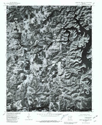
1964 Norfork Dam South
Baxter County, AR
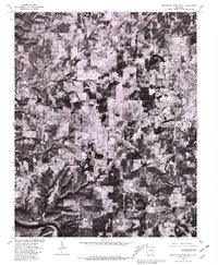
1965 Clarkridge
Baxter County, AR
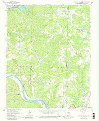
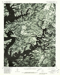
1965 Norfork Dam North
Baxter County, AR
1966 Mountain Home East
Baxter County, AR
1966 Mountain Home West
Baxter County, AR
1966 Norfork SE
Baxter County, AR
1979 Clarkridge
Baxter County, AR
1979 Mountain Home East
Baxter County, AR
1979 Mountain Home West
Baxter County, AR
1979 Norfork Dam North
Baxter County, AR
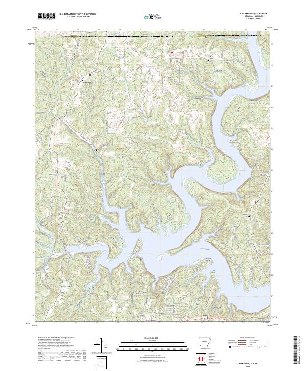
2024 Clarkridge
Baxter County, AR
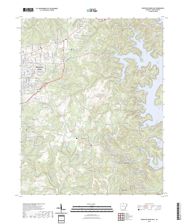
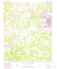
2024 Mountain Home East
Baxter County, AR
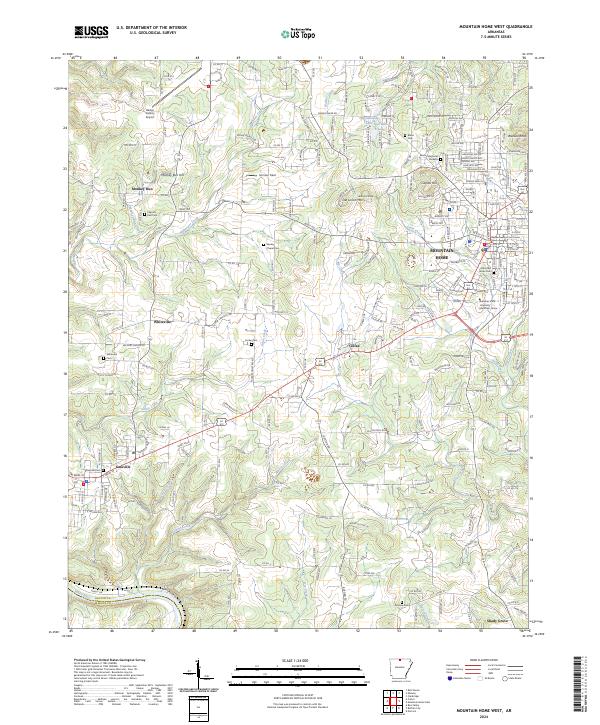
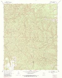
2024 Mountain Home West
Baxter County, AR
2024 Norfork Dam North
Baxter County, AR
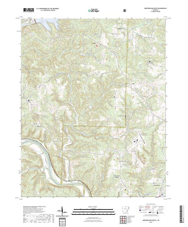
2024 Norfork Dam South
Baxter County, AR
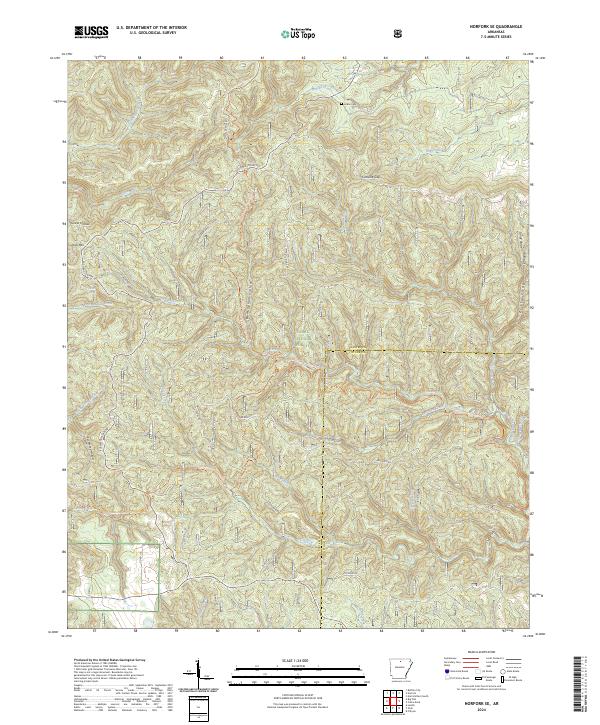
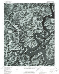
2024 Norfork SE
Baxter County, AR