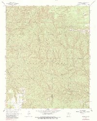
1966 Map of Norfork SE
USGS Topo · Published 1984About this map
Ozark National Forest lands dominate this mid-century survey along the border of Baxter and Stone counties. The landscape is defined by the deep dissection of the Sylamore Creek watershed, where numerous prongs and forks like North Fork Sylamore Creek and Cripple Turkey Fork carve through the high ridges of Matney Lone Rock and Leatherwood Mountain. This era shows a transition from isolated upland homesteading toward federal recreational management, evidenced by the Barkshed Picnic Area and the Lookout Tower near Push Mountain.
Find a feature on this map
41 named features on this map. Tap any name to fly to it.
Don’t see what you’re looking for? This feature index may not catch every label — zoom into the map to look around manually.
Map Details
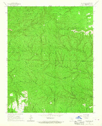
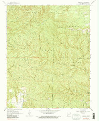
Editions of this 1966 Norfork SE Map
3 editions found
Other maps of this area

1890 · Mountain Home
USGS Topo · 1:125,000

1891 · Mountain Home
USGS Topo · 1:125,000

1892 · Mountain View
USGS Topo · 1:125,000

1894 · Mountain View
USGS Topo · 1:125,000

1894 · Mountain Home
USGS Topo · 1:125,000

1945 · Harrison
USGS Topo · 1:250,000

1949 · Harrison
USGS Topo · 1:250,000

1954 · Harrison
USGS Topo · 1:250,000

1956 · Russellville
USGS Topo · 1:250,000

1958 · Harrison
USGS Topo · 1:250,000