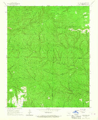
1966 Map of Norfork SE
USGS Topo · Published 1967About this map
Ozark National Forest dominates this mid-1960s landscape, where the rugged terrain of the Ozark Plateau is etched by complex drainage systems like Matney Creek and North Fork Sylamore Creek. The map documents a period when access was transitioning from an older network of jeep trails and unnamed paths to improved routes like Beaver Road and Barkshed Road. Local heritage is anchored by sites such as the Acklin Cem and another Cem near the forest edge, while landmarks like the Lookout Tower on Push Mountain indicate the ongoing management of these timberlands.
Find a feature on this map
50 named features on this map. Tap any name to fly to it.
Don’t see what you’re looking for? This feature index may not catch every label — zoom into the map to look around manually.
Map Details
Editions of this 1966 Norfork SE Map
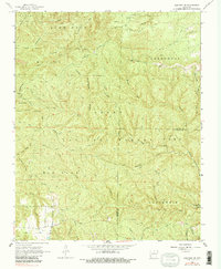
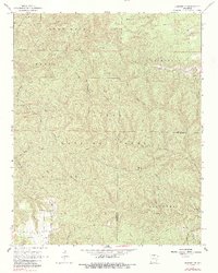
3 editions found
Other maps of this area

1890 · Mountain Home
USGS Topo · 1:125,000

1891 · Mountain Home
USGS Topo · 1:125,000

1892 · Mountain View
USGS Topo · 1:125,000

1894 · Mountain View
USGS Topo · 1:125,000

1894 · Mountain Home
USGS Topo · 1:125,000

1945 · Harrison
USGS Topo · 1:250,000

1949 · Harrison
USGS Topo · 1:250,000

1954 · Harrison
USGS Topo · 1:250,000

1956 · Russellville
USGS Topo · 1:250,000

1958 · Harrison
USGS Topo · 1:250,000