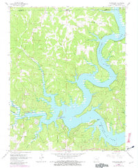
1965 Map of Clarkridge
USGS Topo · Published 1982About this map
The waters of Norfork Lake dominate the eastern and southern landscape of this 1960s Ozark borderland survey, with revisions from 1980 highlighting changes in the shoreline and developed areas. The settlement of Clarkridge serves as the primary hub, situated near the intersection of various creeks and ridgelines that define the terrain. Local history and genealogy are well-represented by several family-named burial sites including Maynard Cem, Bentley Ridge Cem, and Thacker Cem, which sit alongside country churches like Zion Ch and the Church of Christ. Access to the water is marked by points such as Red Bank Landing and Drenfield Landing, while the northern portion of the sheet captures the winding course of Lick Creek as it crosses the border between Arkansas and Missouri.
Find a feature on this map
32 named features on this map. Tap any name to fly to it.
Don’t see what you’re looking for? This feature index may not catch every label — zoom into the map to look around manually.
Map Details
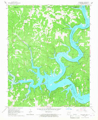
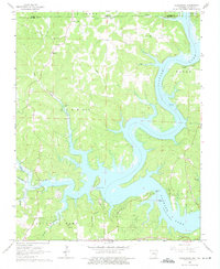
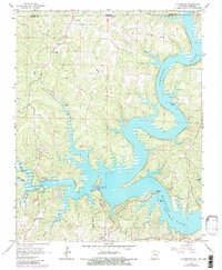
Editions of this 1965 Clarkridge Map
4 editions found
Other maps of this area

1890 · Mountain Home
USGS Topo · 1:125,000

1891 · Mountain Home
USGS Topo · 1:125,000

1894 · Mountain Home
USGS Topo · 1:125,000

1934 · Gainesville
USGS Topo · 1:48,000

1940 · Gainesville
USGS Topo · 1:62,500

1944 · Cureall
USGS Topo · 1:62,500

1945 · Harrison
USGS Topo · 1:250,000

1946 · Cureall
USGS Topo · 1:62,500

1949 · Harrison
USGS Topo · 1:250,000

1954 · Harrison
USGS Topo · 1:250,000