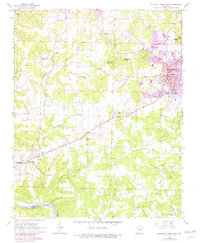
1966 Map of Mountain Home West
USGS Topo · Published 1982About this map
Mountain Home serves as the focal point of this Baxter County survey, showing a period of significant expansion as noted by the purple revisions marking new urban growth and facilities like the Baxter Hospital. The landscape transitions from the concentrated municipal infrastructure of the Courthouse and City Hall to a rural network of small communities and family landmarks. The southern edge of the map follows the winding course of the White River and the Missouri Pacific railroad, highlighting the historical transportation corridor between Baxter and Marion counties.
Find a feature on this map
54 named features on this map. Tap any name to fly to it.
Don’t see what you’re looking for? This feature index may not catch every label — zoom into the map to look around manually.
Map Details
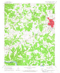
Editions of this 1966 Mountain Home West Map
2 editions found
Other maps of this area

1890 · Mountain Home
USGS Topo · 1:125,000

1891 · Mountain Home
USGS Topo · 1:125,000

1893 · Yellville
USGS Topo · 1:125,000

1894 · Mountain Home
USGS Topo · 1:125,000

1903 · Yellville
USGS Topo · 1:125,000

1905 · Yellville
USGS Topo · 1:125,000

1929 · Yellville
USGS Topo · 1:125,000

1945 · Harrison
USGS Topo · 1:250,000

1949 · Harrison
USGS Topo · 1:250,000

1954 · Harrison
USGS Topo · 1:250,000