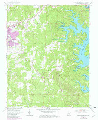
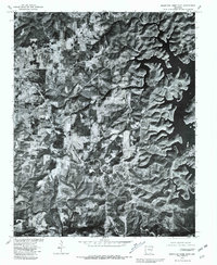
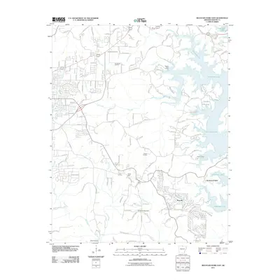
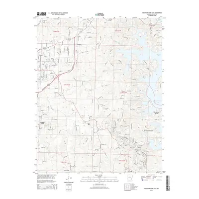
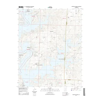
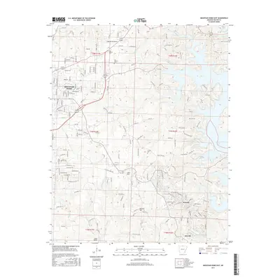
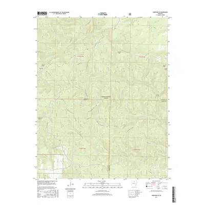
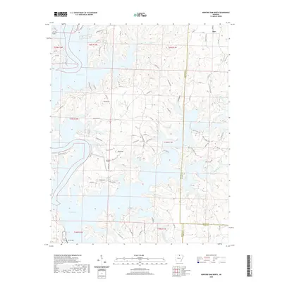
1966 Map of Mountain Home East
USGS Topo · Published 1982About this map
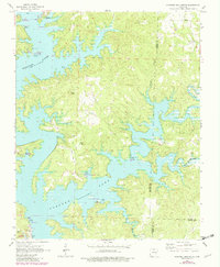
Mountain Home serves as the regional hub in this mid-1960s landscape, which shows the town's expansion toward the fingers of Norfork Lake. The eastern shoreline of the lake is defined by recreation and access points like Buzzard Roost Landing and Traceys Landing, alongside the Panther Bay Public Use Area. This survey reflects a transition between established agricultural uplands and a growing reservoir-based economy.
Find a feature on this map
38 named features on this map. Tap any name to fly to it.
Don’t see what you’re looking for? This feature index may not catch every label — zoom into the map to look around manually.
Map Details
Editions of this 1966 Mountain Home East Map
2 editions found
Historical Maps of Mountain Home Through Time
40 maps found
1964 Norfork Dam South
Baxter County, AR
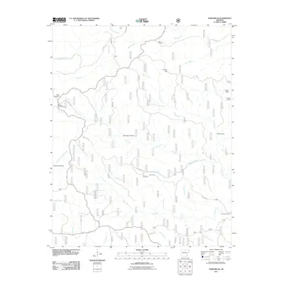
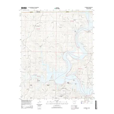
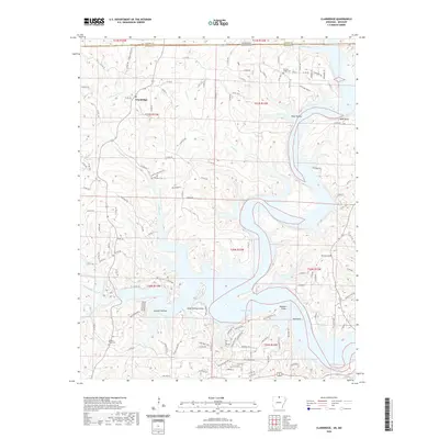
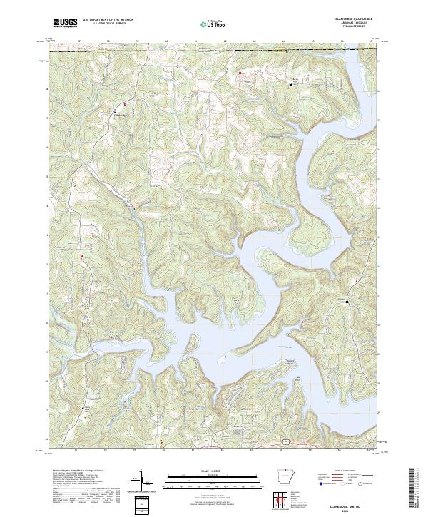
1965 Clarkridge
Baxter County, AR
1965 Norfork Dam North
Baxter County, AR
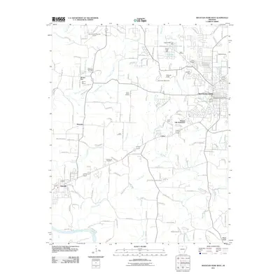
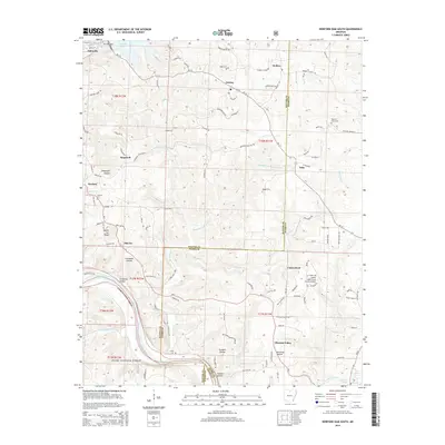
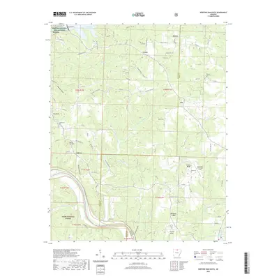
1966 Mountain Home East
Baxter County, AR
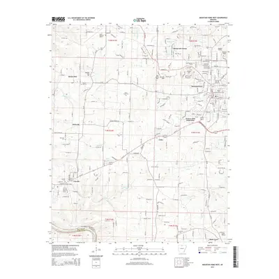
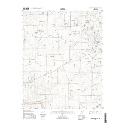
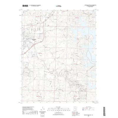
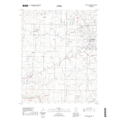
1966 Mountain Home West
Baxter County, AR
1966 Norfork SE
Baxter County, AR
1979 Clarkridge
Baxter County, AR
1979 Mountain Home East
Baxter County, AR
1979 Mountain Home West
Baxter County, AR
1979 Norfork Dam North
Baxter County, AR
2011 Clarkridge
Baxter County, AR
2011 Mountain Home East
Baxter County, AR
2011 Mountain Home West
Baxter County, AR
2011 Norfork Dam North
Baxter County, AR
2011 Norfork Dam South
Baxter County, AR
2011 Norfork SE
Baxter County, AR
2014 Clarkridge
Baxter County, AR
2014 Mountain Home East
Baxter County, AR
2014 Mountain Home West
Baxter County, AR
2014 Norfork Dam North
Baxter County, AR
2014 Norfork Dam South
Baxter County, AR
2014 Norfork SE
Baxter County, AR
2017 Clarkridge
Baxter County, AR
2017 Mountain Home East
Baxter County, AR
2017 Mountain Home West
Baxter County, AR
2017 Norfork Dam North
Baxter County, AR
2017 Norfork Dam South
Baxter County, AR
2017 Norfork SE
Baxter County, AR
2020 Clarkridge
Baxter County, AR
2020 Mountain Home East
Baxter County, AR
2020 Mountain Home West
Baxter County, AR
2020 Norfork Dam North
Baxter County, AR
2020 Norfork Dam South
Baxter County, AR
2020 Norfork SE
Baxter County, AR
2024 Clarkridge
Baxter County, AR
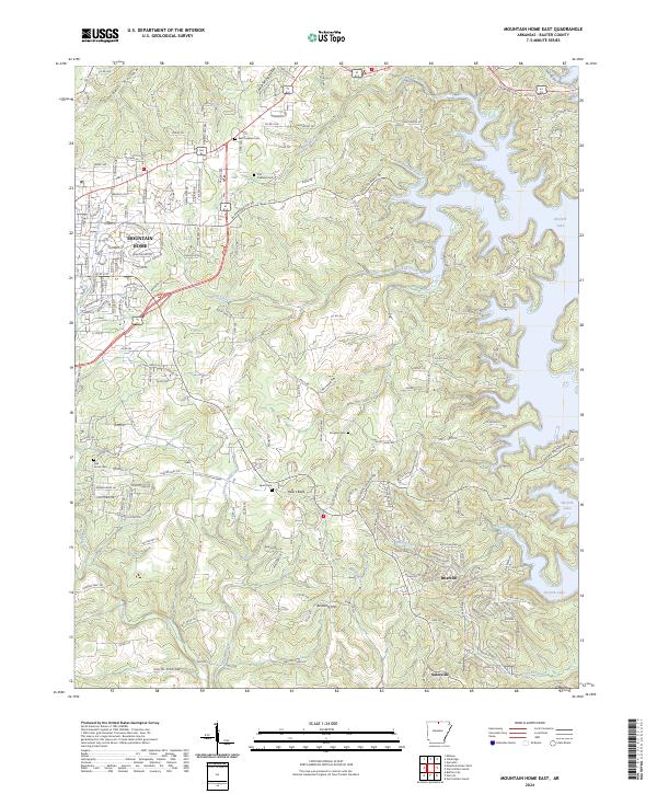
2024 Mountain Home East
Baxter County, AR
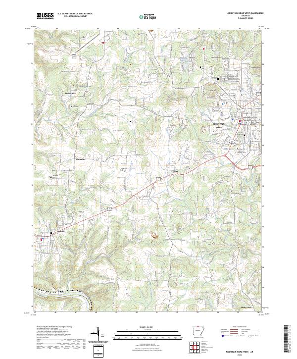
2024 Mountain Home West
Baxter County, AR
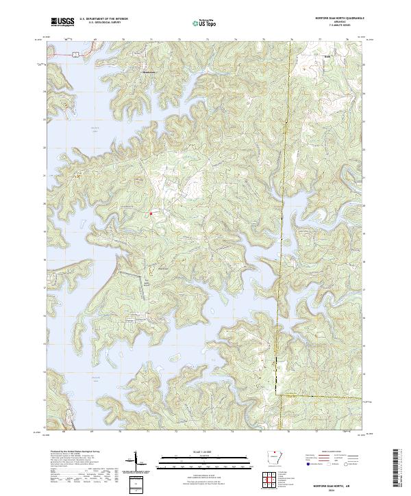
2024 Norfork Dam North
Baxter County, AR
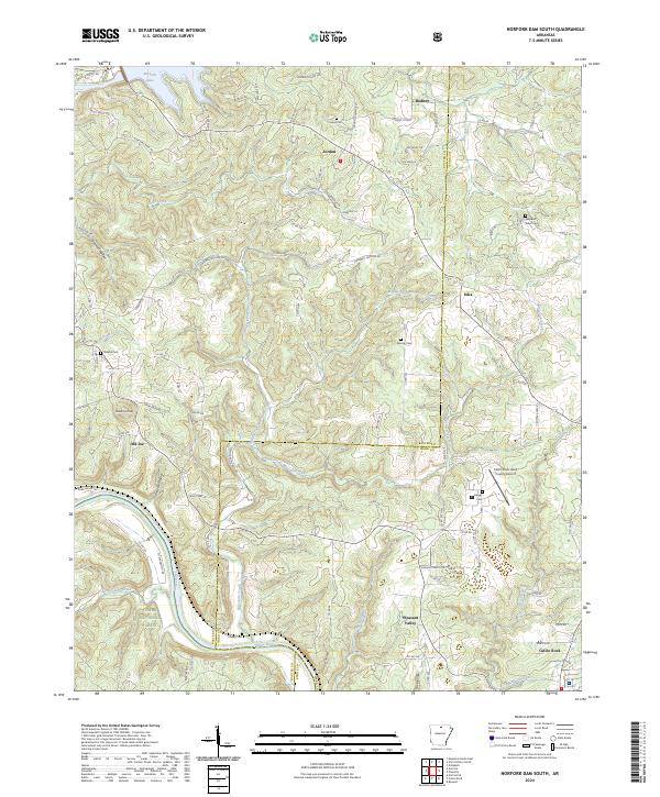
2024 Norfork Dam South
Baxter County, AR
2024 Norfork SE
Baxter County, AR