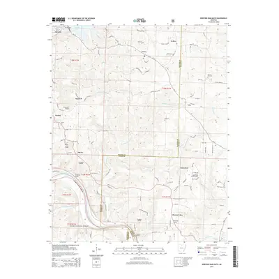
2014 Map of Norfork Dam South
USGS Topo · Published 2014About this map
Norfork Dam anchors the northwest corner of this Ozark landscape, where the waters of Norfork Lake give way to the White River valley. The map reveals a network of rural communities including Jordan, Salesville, Iuka, and Calico Rock, the latter situated along the river near the Calico Rock-Izard County Airport. The terrain is defined by deep hollows and high points like Naked Joe Knob, with much of the southern reach protected within the Ozark National Forest.
Find a feature on this map
110 named features on this map. Tap any name to fly to it.
Don’t see what you’re looking for? This feature index may not catch every label — zoom into the map to look around manually.
Map Details
Editions of this 2014 Norfork Dam South Map
This is the sole edition of this map. No revisions or reprints were ever made.
Other maps of this area

1890 · Mountain Home
USGS Topo · 1:125,000

1891 · Mountain Home
USGS Topo · 1:125,000

1894 · Mountain Home
USGS Topo · 1:125,000

1945 · Harrison
USGS Topo · 1:250,000

1949 · Harrison
USGS Topo · 1:250,000

1954 · Harrison
USGS Topo · 1:250,000

1958 · Harrison
USGS Topo · 1:250,000

1964 · Harrison
USGS Topo · 1:250,000
1964 · Calico Rock
USGS Topo · 1:24,000
1964 · Pineville
USGS Topo · 1:24,000