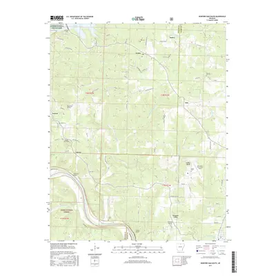
2017 Map of Norfork Dam South
USGS Topo · Published 2017About this map
The Norfork National Fish Hatchery and the massive Norfork Dam anchor the northern landscape of this Arkansas Ozarks survey, where the Norfork River flows south from Norfork Lake. The terrain is defined by a series of deep hollows and creek systems, including Moccasin Cr and Calico Cr, which carve through the high ground of the Ozark National Forest. Small settlements such as Norfork, Jordan, and Iuka are connected by a network of county roads, while the town of Calico Rock serves as a regional hub near the Calico Rock-Izard County Airport.
Find a feature on this map
91 named features on this map. Tap any name to fly to it.
Don’t see what you’re looking for? This feature index may not catch every label — zoom into the map to look around manually.
Map Details
Editions of this 2017 Norfork Dam South Map
This is the sole edition of this map. No revisions or reprints were ever made.
Other maps of this area

1890 · Mountain Home
USGS Topo · 1:125,000

1891 · Mountain Home
USGS Topo · 1:125,000

1894 · Mountain Home
USGS Topo · 1:125,000

1945 · Harrison
USGS Topo · 1:250,000

1949 · Harrison
USGS Topo · 1:250,000

1954 · Harrison
USGS Topo · 1:250,000

1958 · Harrison
USGS Topo · 1:250,000

1964 · Harrison
USGS Topo · 1:250,000
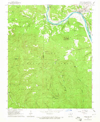
1964 · Calico Rock
USGS Topo · 1:24,000
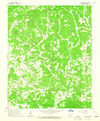
1964 · Pineville
USGS Topo · 1:24,000